Ready to explore this trail?
View Trail Map in AppPath Type
Point to Point
This trail is best hikeed from the top to the bottom, but some folks hike from the bottom to the top, or do an in-and-out. Parking is available at the top and the bottom, but the road is fairly rough to both parking area.
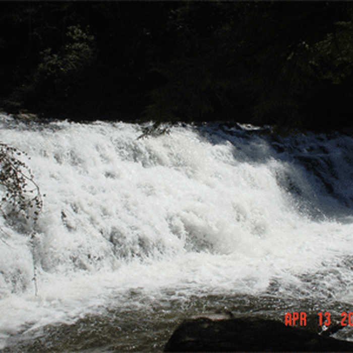
If hiking from the top, park at the upper parking lot and take the trail right off the end of the parking lot. There are several picnic tables and camping is allowed near the upper parking lot as well. Just a short distance down the trail, the hiker comes to the waterfalls. Actually there are several waterfalls in a short distance. There is a short loop which takes hikers down to the edge of the water below one of the waterfalls.
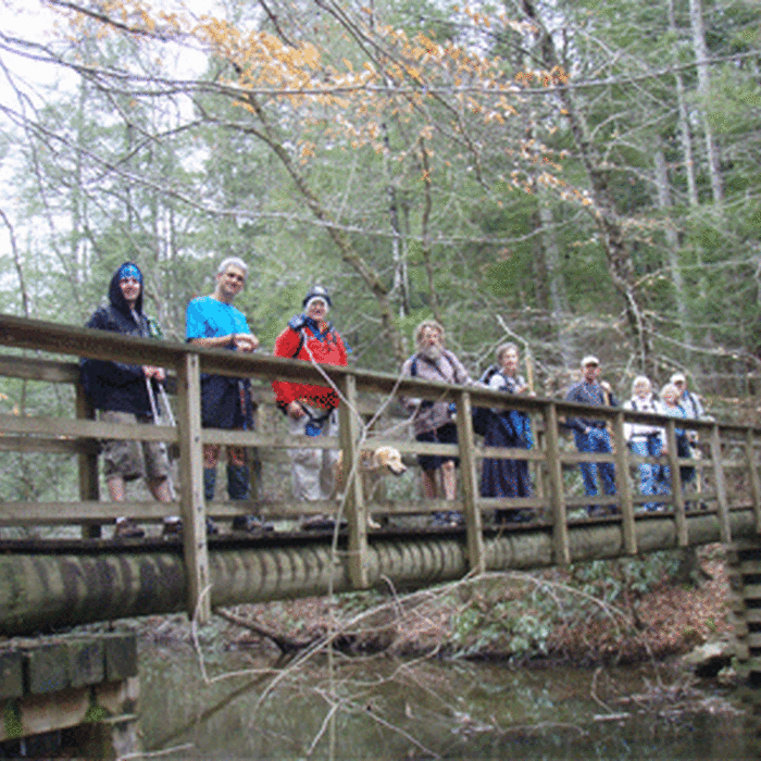
After leaving this area of the upper waterfalls, the trail courses through the ravine, sometimes close to the creek, sometimes more distant. There are a few primitive LNT campsites on the way down the trail. Even though the trail is mostly downhill, there are a few sections of steep uphill.
For the most part, the trail is well-maintained and fairly easy to hike, especially in the downhill direction. At the bottom, the hiker reaches the junction with the Benton MacKaye Trail and the John Muir Trail close to the Hiwassee River. At this intersection, there are 3 or 4 fairly sizable campsites which are accessible by road, but no privies. Water is available from the creek.
No Condition Reports
Benton MacKaye Trail - Childers Creek to Unicoi Gap - Backpack
Benton MacKaye Trail - Childers Creek to Unicoi Gap - Backpack
Ocoee Whitewater Center
Ocoee Whitewater Center
Big Frog/Chestnut Mountain 50K
Big Frog/Chestnut Mountain 50K
Ocoee River Loop
Ocoee River Loop
Conasauga Falls Trail #170
Conasauga Falls Trail #170
Big Frog Trail
Big Frog Trail
Contributors

