Near Railroad Trail
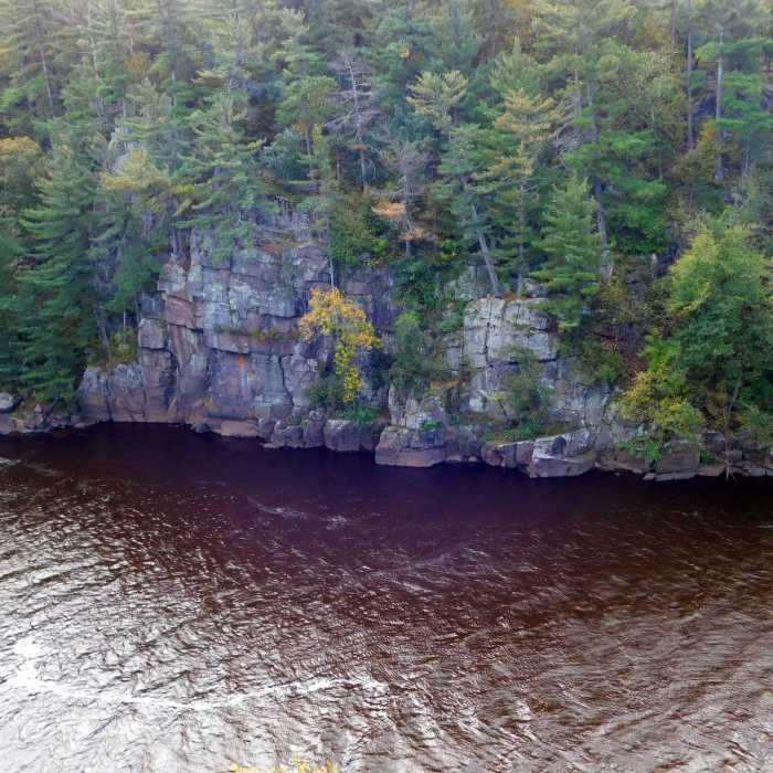
Towering cliffs constrain this section of the St. Croix River.
Near Railroad Trail
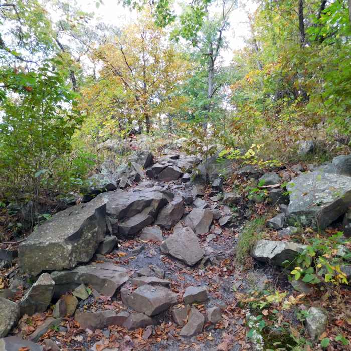
This is an example of the rocky terrain you'll encounter on River Trail.
Near Railroad Trail
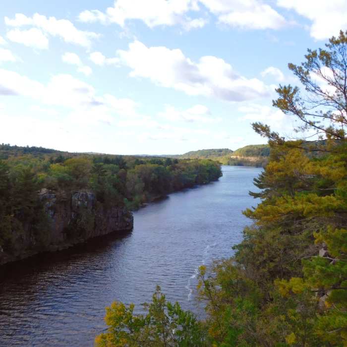
The mighty St. Croix River flows through the towering cliffs lining its banks.
Near Railroad Trail
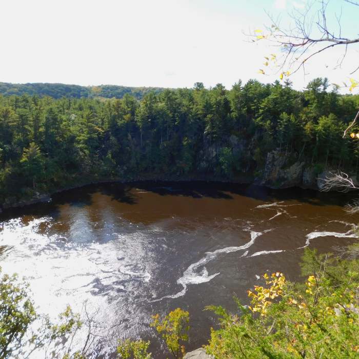
Enjoy great views of the St. Croix River from overlooks along the River Trail.
Near Railroad Trail
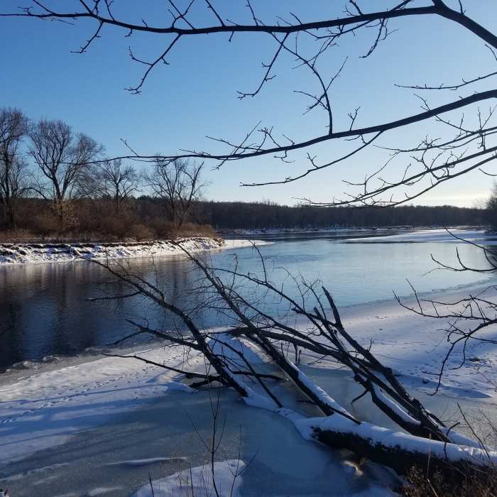
St. Croix River in winter

Looking for more photos?

View All Photos
View Map
Driving Directions
Hike Trail

Railroad Trail

2.7 (3 Ratings)
A wooded trail that follows an old rail line.
0.9
mi
Distance
44
ft
Gain
easy
Difficulty
Birding

Route Details

Flatter
Steeper
0.92mi
Distance
44ft
Elevation Gain
72ft
Elevation Loss
30%
Max Grade
839ft
High Point
768ft
Low Point
Path Type
Point to Point
Description
From the parking lot past the community center, you'll find the trail. The first quarter mile is separated from the highway by a veil of trees then turns up toward the hills. Cross a road and continue along at a even pace until you arrive at the Sandstone Bluffs Trail.

Route Conditions

Report Conditions
Anonymous Adventurer
All Clear
Anonymous Adventurer
All Clear
Anonymous Adventurer
All Clear
Looking for more condition reports?
View History

Nearby Hike Routes

William O'Brien Tour

Hike Route

William O'Brien Tour

Birding
moderate
10.4 mi
+725 ft
Hiking Club Trail

Hike Route

Hiking Club Trail

Views
easy
5.39 mi
+355 ft
Southern Trails Loop

Hike Route

Southern Trails Loop

Dogs Allowed
easy
2.11 mi
+184 ft
Wetlands Loop Trail

Hike Route

Wetlands Loop Trail

Dogs Allowed
easy
1.11 mi
+0 ft
Arcola High Bridge Viewpoint

Hike Route

Arcola High Bridge Viewpoint

Dogs Allowed
easy
0.77 mi
+0 ft
Linwood School Forest Trails Loop

Hike Route

Linwood School Forest Trails Loop

Dogs Allowed
easy
3.28 mi
+63 ft
Contributors
Russell Hobart
