Ready to explore this trail?
View Trail Map in AppOpen year-round. No lighting at night. Gates at Stuart Nelson and Noble Parks can lock anytime after dusk. Suppose to be 10 pm closing time, but city park officials close the gates whenever they feel like it. I've had my vehicle locked in a couple times at 8:30 pm and had to drive around the gate.
Path Type
Point to Point
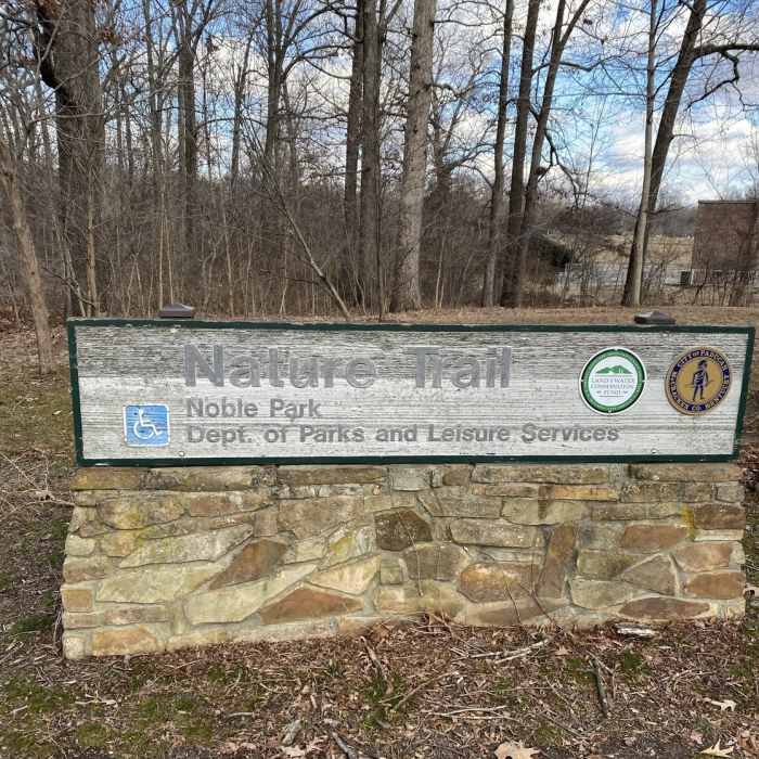
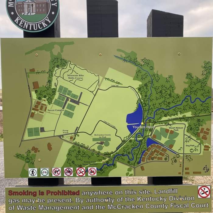
There isn't parking at what is considered the beginning of the trail at County Park RD, based on mile markers. There is parking at Stuart Nelson Park. The main parking is located at Noble Park near the skate park. Mid-trail parking can be found at Smoke Shop Gas on North 8th Street, and there is also parking downtown at the convention center or downtown itself.
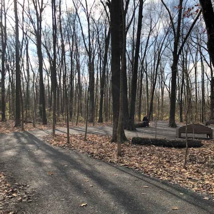
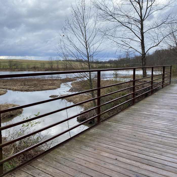
From the beginning at the far west end of the trail, it is crushed limestone through wooded and meadow lands. At Noble Park, the trail changes to concrete on top of the flood wall and heads toward the Ohio River. There is a short tunnel taking the trail under US 45. Shortly after tunnel are benches for viewing the Irvin Cobb Bridge over the Ohio.
The trail continues on top of the flood wall to downtown Paducah. The marked trail ends near the convention center parking lot. You can continue on city sidewalks to the farmers' market, River Front Park, and downtown Broadway with shops, restaurants, historic Market House, the Carson Center, and Hooper's Outdoor Center. Paducah is adding more miles to this trail every few years.
All Clear
Looking for more condition reports?
Contributors

