
Ready to explore this trail?
View Trail Map in AppPlease Respect and Protect archaeological sites: Stay on trail, help prevent damage. Don't move artifacts, let everyone enjoy the discovery. Stay out of ancient buildings and off walls, they are fragile! Report looting and vandalism: 1 800 722 3998
Path Type
Point to Point
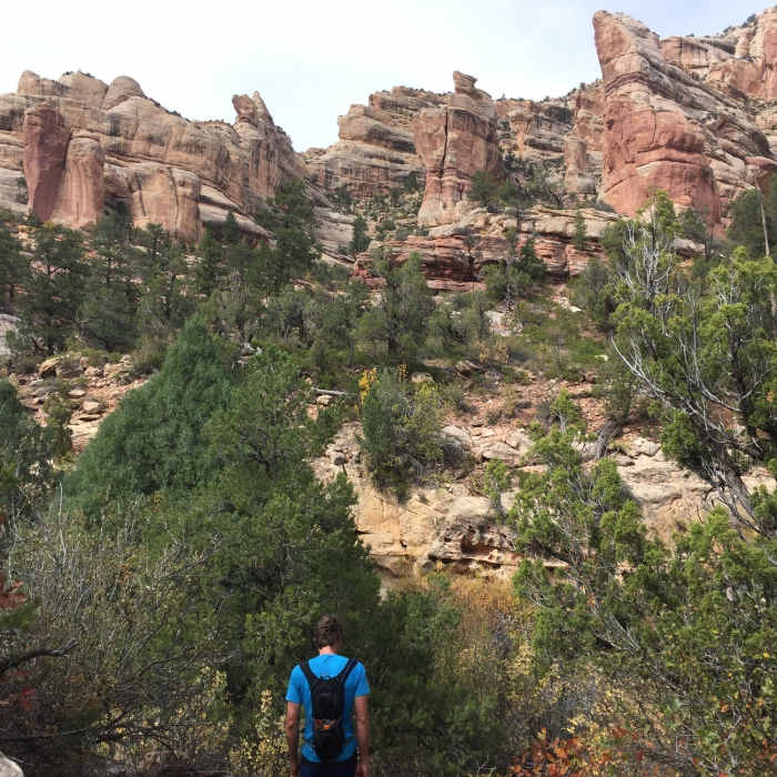
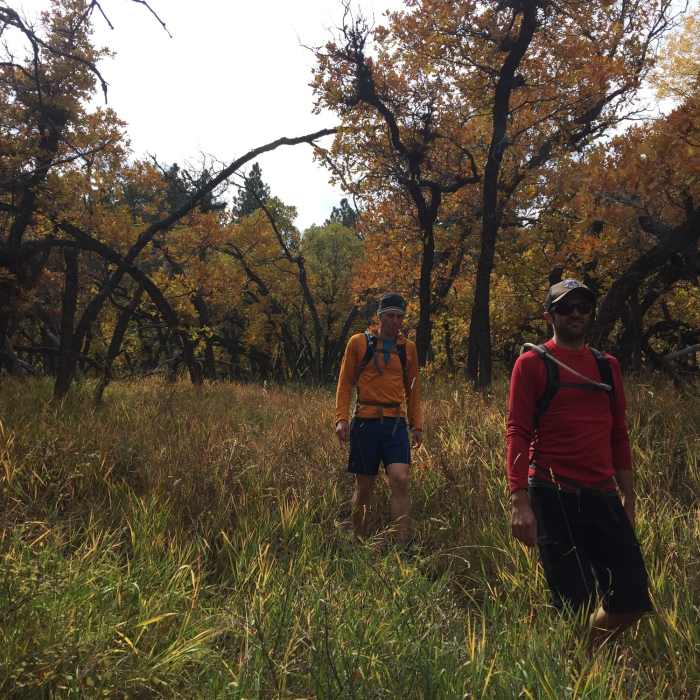
Starting from the Hammond Canyon (012) Trailhead, the trail immediately dives into the water-carved valley, becoming steeper and steeper as you go. You'll note that along this trail, the flora changes from deciduous trees and lush, low shrubs, to dry conifers. As the dense deciduous foliage of the forest starts to thin, the views of !Hammond Canyon proper become more apparent.
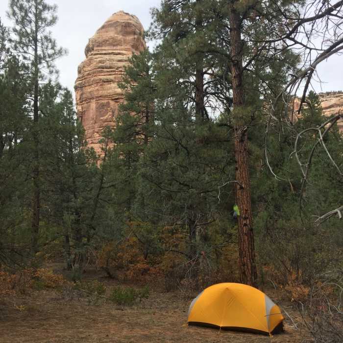
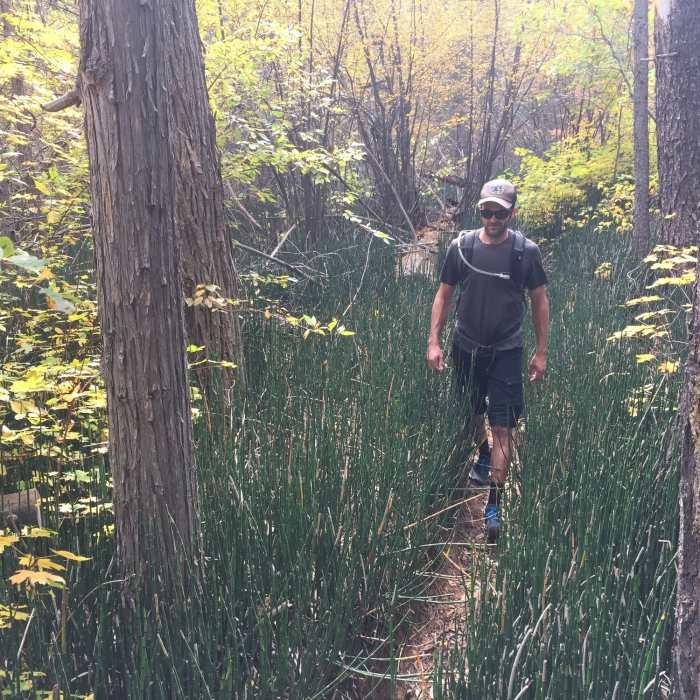
Continue down this tight, somewhat elusive trail as it finally reaches the !Hammond Canyon Creek. From here, the trail meanders along and around the creekbed, slowly falling in elevation. In some of these sections, you'll be surrounded by thick horsetail reeds as well as dense manzanita shrubs. Don't forget to look up, however, as the towering sandstone pillars should be coming into view now.
Eventually, the trail reaches a double waterfall (which must be stunning in Spring). This proves a good resting point or a place to eat lunch.
From here, the trail continues east. If you have time, be sure not to miss Three Finger Ruin! We didn't have time to see it, but it's supposed to be amazingly well-preserved. I've noted its location as an information symbol on the map.
The trail eventually reaches an intersection with Cream Pots Trail (005) and Posey Canyon Trail (166).
No Condition Reports
Contributors

