Ready to explore this trail?
View Trail Map in AppWilderness Permits required. Trailhead quotas are (reserved-walking): Norris (6-4), Fernandez (13-8), Walton (5-4). Reservation fee is $5.00 per person, but walk-in permits are free. They can be obtained at the Bass Lake Ranger station in North Fork or the High Sierra Ranger station in Prather.
Path Type
Point to Point
The Lady Lake Trail branches from the Lillian Lake Loop about 0.3 miles from, and 150 feet above, Vanderburg Lake at the point where that trail levels off. These lakes are a great destination in themselves, or an easy and not-to-be-missed side trip from the Lillie Lake Loop. Normally these would be great camping spots in late June, but in mid-July 2019, there was still a lot of snow.
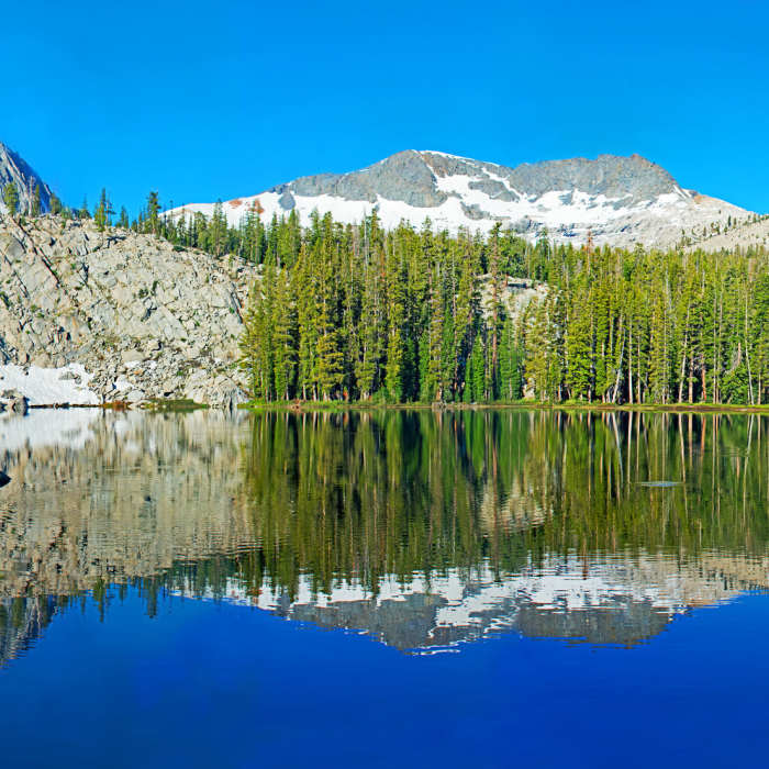
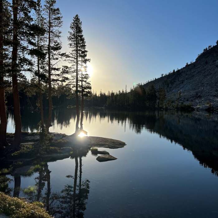
I believe the trail currently goes as I have drawn it, rather than following near Madera Creek as shown on the topographical map; however, there was a lot of snow, and I could be wrong. In any case, whichever way you go, you should have no difficulty getting there. The lower lake is more wooded and has good campsites on the west side.
There is no official trail between the lower and upper lakes because there is no need for one. It is an easy walk. The upper lake is only 30 feet higher than the lower lake. Start from the west side of the lower lake and traverse up about 30 feet onto the granite. From there, just stay fairly level and walk over the granite to the upper lake.
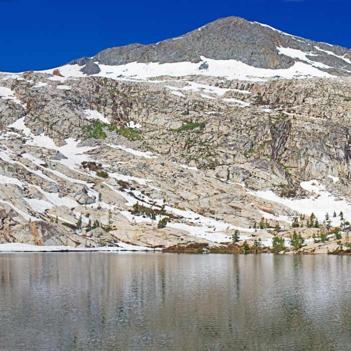
I really liked the upper lake. Although it is very close to the lower lake, it seemed a world away. It is a true alpine lake sitting below Madera Peak with only a few trees surrounding it. There are plenty of beautiful, but somewhat exposed campsites.
From here, you can make hikes to the top of Madera Peak or Sing Peak, which are both rated as Class 2. The easiest way would be to climb the gap between the two and then climb either peak from the back side. Madera Peak was first climbed in 1931 by a husband and wife, their 7-year old son, and another woman.
No Condition Reports
Contributors

