
Ready to explore this trail?
View Trail Map in AppPath Type
Point to Point
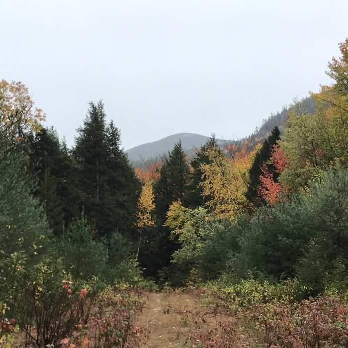
This is mostly a snowmobile trail, but it is often used by cyclists. The trail starts off the railroad tracks, near Heather Hill Road and runs northward to the Marshall Conservation Area. The trail turns left to follow Ingall Hill Road, staying on the main road for a ways. The trail turns right, crossing over T-Bone, then continues to High Street/USFS Road 379.
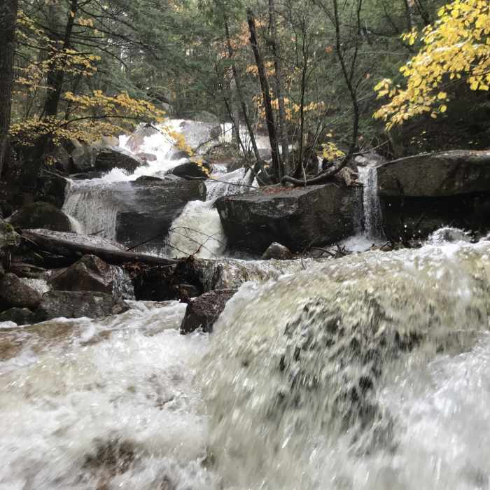
It turns right, following USFS Road 379 into the White Mountain National Forest. It follows USFS Road 379 for a ways to Snowmobile Junction 840. Here, the trail continues straight towards Thompson Falls Trail. Thompson Falls is only 0.2 miles in from the bottom of the trail; it's worth the trip.
The trail climbs up to Red Ridge Trail and continues straight. Right before crossing over the Red Ridge Trail, there's a rock causeway over a stream. While the stream is usually dry and poses no threat, it can be a raging torrent during heavy rainstorms. This area was repaired by the Forest Service in the fall of 2020. The trail continues past the Landing Zone to the other spur of Red Ridge Trail.
The trail continues to Snowmobile Junction 496, where it ends. Taking a right onto Cathedral Ledge Road will take you to the top of Cathedral Ledge.
No Condition Reports
Echo Lake Trail
Echo Lake Trail
Mount Kearsarge North Trail
Mount Kearsarge North Trail
Diana's Bath Out and Back
Diana's Bath Out and Back
Black Cap Trail
Black Cap Trail
Boulder Loop Trail
Boulder Loop Trail
Three Sisters Loop to Mount Chocorua
Three Sisters Loop to Mount Chocorua
Contributors

