Ready to explore this trail?
View Trail Map in AppThis is a purpose-bulit mountain bike trail, but pedestrians can enjoy it too.RXHERs travel counter-clockwise on Saturday, Tuesday, and Thursday, and clockwise on Monday, Wednesday, Friday, and Sunday.
Path Type
Point to Point
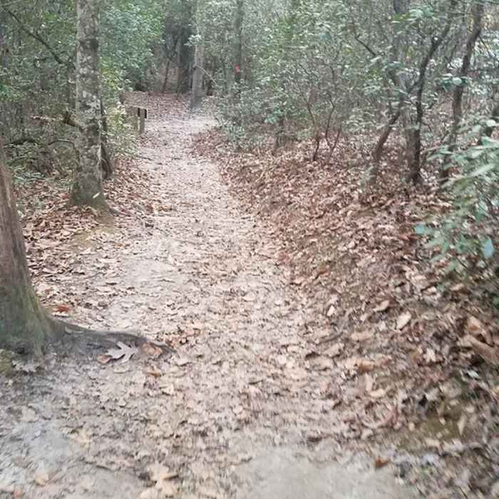
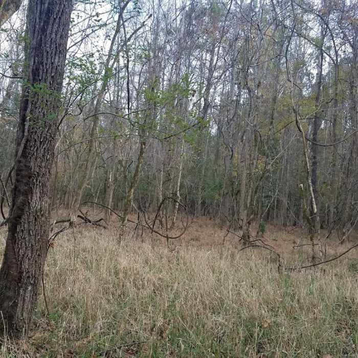
Mountain Laurel Loop is the first of several mountain bike trails planned for Raven Rock State Park. It's a singletrack trail that crosses several wooden bridges, and the entire loop is about 6.5 miles long. The loop passes through forests that include both evergreen and deciduous trees, so it's shady during the spring, summer, and early fall. The trail isn't technically challenge but changing elevations will still give you a good workout.
Mountain Laurel Loop trail is open to hikers and bikers who are required to travel in opposite directions around the loop. There's a short access trail before the loop begins which allows two-way traffic, and a sign at the beginning of the actual loop shows which direction to walk or ride depending on the day of the week.
The highest elevation is at the beginning of the trail, so no matter which direction you travel, you'll start by hiking downhill and finish on an uphill stretch. When you hike in a clockwise direction, the first third of the trail is mostly downhill with several fairly steep sections. The remaining two thirds of the trail ascend gradually, with a mix of uphill and level sections. When you hike in a counterclockwise direction, the first part of the trail descends gradually allowing you to breeze through the first four miles with very little effort. However, the last few miles are mostly uphill.
Parking for the trail is located in a grassy field away from the main parking area for Raven Rock State Park. To find the trailhead, turn right onto Moccasin Branch Road before you pass through the main entrance to the state park. Drive about 0.25 miles and look for the sign to the mountain bike trailhead. Two portable toilets are located near the beginning of the trail.
No Condition Reports
Contributors

