Ready to explore this trail?
View Trail Map in AppBring bear spray.
Path Type
There and Back
This trail breaks off of the Waterton Valley Trail and will most likely be done as a day hike from Kootenai Lakes. The trail starts out in the trees where you come to a ford of the Waterton River. This should be avoided until later in the summer. The ford is deceptively deep, so make sure you prepare accordingly. The river moves slower here which helps.
From there, it is more hiking through a wonderful forest until you get to another crossing, this time of Valentine Creek. After an easy ford, keep your creek crossing shoes on as another one that doesn't always make it on the map shows up about 50 yards down the trail.
Once across the second Valentine Creek ford, the trail reaches the base of the mountain and begins its climb. The trail has many switchbacks, but they help maintain a wonderful grade up the entire mountain.
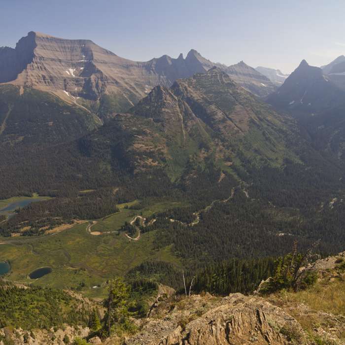
As you get higher, the trees gradually give way to low growing alpine plants and subalpine fir. With each step, more mountains become visible and your view up the Valentine Creek drainage gets better.
Once at the lookout at the end of the trail, you peer thousands of feet down to the collections of water that form Kootenai Lakes and moose are visible as little dots with trailing mud in the water. These lakes and the snaking Waterton River are backdropped by a fence line of trees with Mount Cleveland, Glacier's ceiling, dominating your view.
Chances of you seeing anyone on this trail are very slim as few visit the lookout due to its backcountry-only accessibility.
This content was created by Jake Bramante of Hike 734. Visit https://www.hike734.com for more expert Glacier content and maps that help you decide which trail to hike.
No Condition Reports
Montana Trail Section 2
Montana Trail Section 2
Continental Divide Trail: Montana-Idaho Section 30C
Continental Divide Trail: Montana-Idaho Section 30C
Carthew - Alderson Traverse
Carthew - Alderson Traverse
Pacific Northwest National Scenic Trail Section 1
Pacific Northwest National Scenic Trail Section 1
Goat Lake
Goat Lake
Blakiston Falls
Blakiston Falls
Contributors

