Ready to explore this trail?
View Trail Map in AppOpen 8 a.m to sunset.
Path Type
Point to Point
The Rock Springs Trail start shown here, is found at the parking area on the east side of the park road. Look for a signpost for Rock Springs Trail on the north side of this parking area off at the edge of the forest. Follow the arrow pointing the way onto Rock Spring Trail.
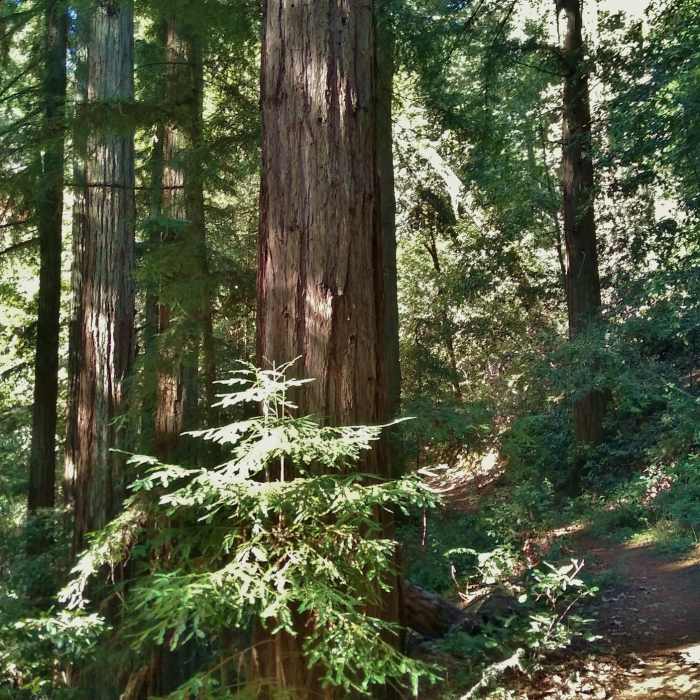
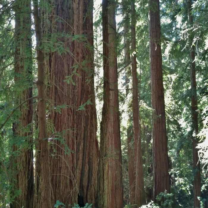
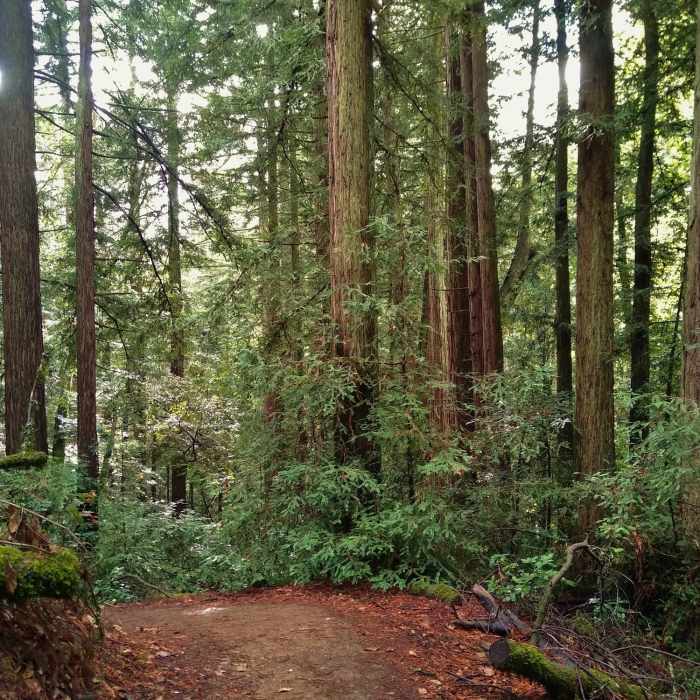
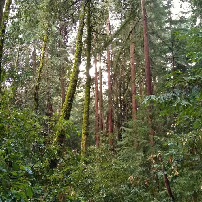
Rock Springs Trail immediately enters the lush, mixed redwood forest where it stays for its entirety. Beautiful large ferns are everywhere in the dense low undergrowth. For the first quarter mile the trail is flat and even descends a bit, as it winds along on its soft, needle covered path. An unmarked side trail is passed on the right (east) at the 0.15 mile mark. This is a Iron Springs/Rock Springs Trail Connector, a very short link path to Iron Springs Trail.
At the 0.25 mile mark, Rock Springs Trail begins its climb that lasts up to its end in the center of Mt. Madonna County Park. Along the way, it crosses Redwood Trail at the 0.35 mile mark. Carefully watch the trail signposts at this crossing to ensure that you follow the trail you want to hike.
From the south on Rock Springs Trail (the direction of this description), first Redwood Trail will come in from the right/east at a trail signpost. Here, Rock Springs Trail turns left to travel on Redwood Trail for a VERY short distance. Almost immediately there is another trail signpost where Rock Springs Trail and Redwood Trail separate. Rock Springs Trail goes right/north here, while Redwood Trail continues straight/west here.
After crossing Redwood Trail, Rock Springs Trail continues climbing in the dense redwood forest to its end point at a signpost along Upper Miller Trail. Go right onto Upper Miller Trail to come out on the park road after a few steps.
If one wants to hike south on Rock Springs Trail (opposite of this description) there is no trail sign along the park road. Find Upper Miller Trail on the west side of the Amphitheater parking area next to the parking area's fence. Follow this trail along the fence (south) towards the forest for a few yards to a trail signpost for Rock Springs Trail. Go left at this signpost to hike Rock Springs Trail southbound.
No Condition Reports
Knobcone Point + Black Rock Falls Hike via Contour Trail
Knobcone Point + Black Rock Falls Hike via Contour Trail
Contributors

