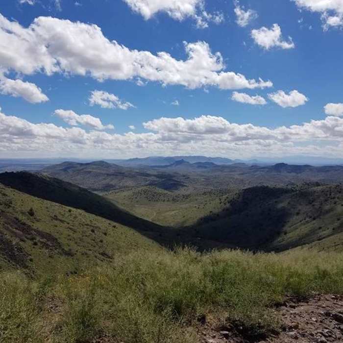
Near Guthrie Peak
A beautiful view of the distant mountains close to the top of the peak.
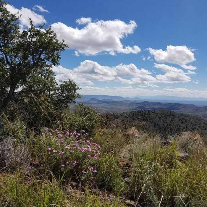
Near Guthrie Peak
Just a few of the wildflowers with the spectacular view of the mountains in the distance near the top of the peak.
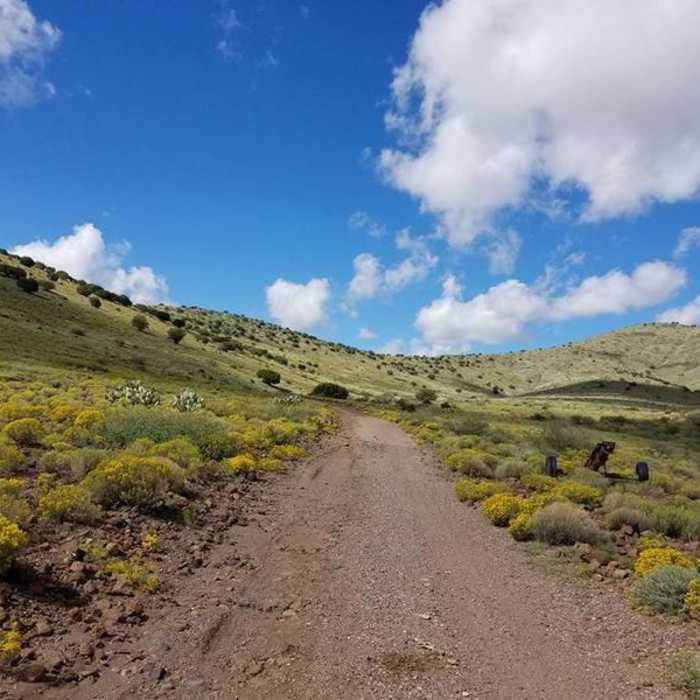
Near Guthrie Peak
The brush and wildflowers at the first part of the trail.
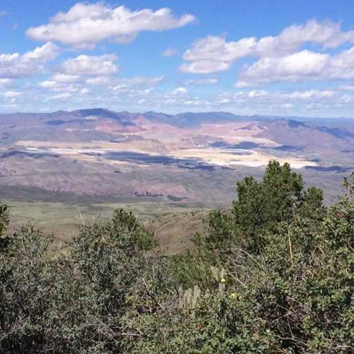
Near Guthrie Peak
This is at the top of Guthrie Peak overlooking the Freeport copper mine in Morenci.
Near Guthrie Peak
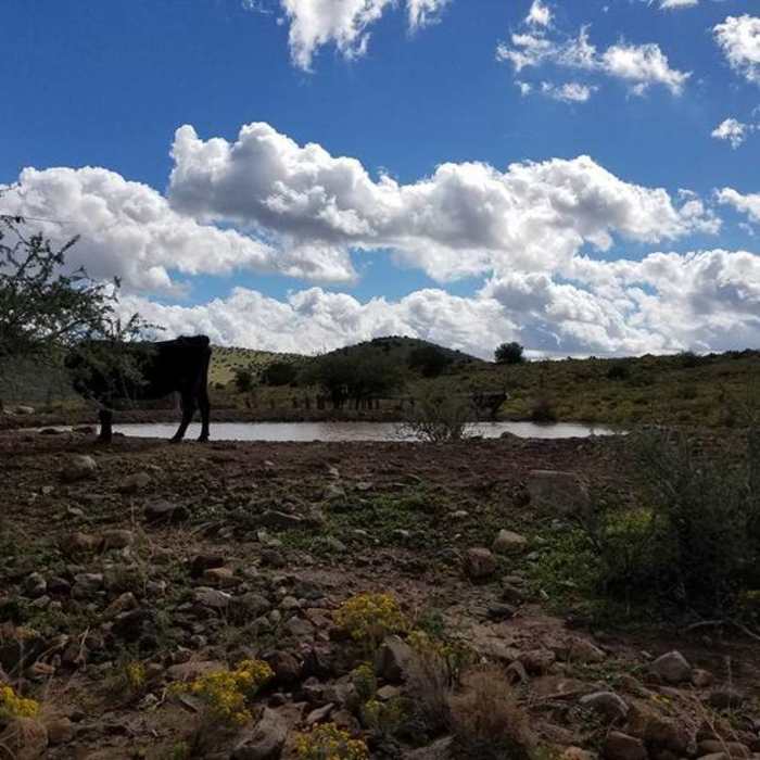
This is a cow and the pond at the beginning of the trail.

Looking for more photos?

View All Photos
View Map
Driving Directions
Hike Trail

Guthrie Peak

4.0 (1 Rating)
A very open road/trail with beautiful views of distant mountains and high desert foliage.
3.9
mi
Distance
1,725
ft
Gain
moderate
Difficulty
ViewsWildflowers
Access Issues
Summer months may be really hot. The best time to go is October-May.

Route Details

Flatter
Steeper
3.88mi
Distance
1,725ft
Elevation Gain
0ft
Elevation Loss
20%
Max Grade
6,527ft
High Point
4,802ft
Low Point
Path Type
Point to Point
Description
Park at the old barn/pond. From here, you'll take the dirt road that leads to the summit of Guthrie Peak. Along the way, enjoy an open view of wildflowers, grass, cactus, and brush. As you steadily climb the hill, you'll come into some pinion trees and some glorious views of distant mountains. Once at the top, there are a lot of towers and dishes but the view is just breathtaking! You can see for miles!

Route Conditions

Report Conditions
No Condition Reports
Report Conditions

Nearby Hike Routes

Dry Canyon Slot Canyon

Hike Route

Dry Canyon Slot Canyon

Dogs Allowed
easy
1.06 mi
+331 ft
Lower Eagle Creek

Hike Route

Lower Eagle Creek

Birding
moderate
2.85 mi
+347 ft
Lower Eagle Creek Hot Springs

Hike Route

Lower Eagle Creek Hot Springs

Waterfall
easy
3.16 mi
+334 ft
West Hill Loop

Hike Route

West Hill Loop

easy
0.5 mi
+15 ft
Mariah Mesa

Hike Route

Mariah Mesa

Family Friendly
easy
0.54 mi
+75 ft
Fenceline

Hike Route

Fenceline

Views
easy
0.93 mi
+45 ft
Contributors
Crick Martindell
