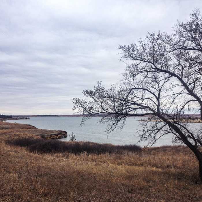
Near Hell Creek Loop
Typical beautiful view of the lake on the winding Switchgrass Trail.
Near Hell Creek Loop
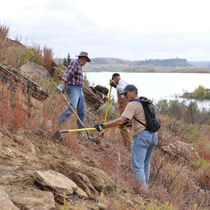
This trail is 99% volunteer work. Thanks to everyone who has helped with labor, finances, and management to create an award-winner in central Kansas.

Looking for more photos?

View All Photos
View Map
Driving Directions
Hike Trail

Hell Creek Loop

3.5 (2 Ratings)
More twisty singletrack with occasional pucker-worthy exposure.
5.6
mi
Distance
341
ft
Gain
moderate
Difficulty
LakeViews
Access Issues
No cliff jumping allowed in the park.

Route Details

Flatter
Steeper
5.65mi
Distance
341ft
Elevation Gain
339ft
Elevation Loss
20%
Max Grade
1,634ft
High Point
1,520ft
Low Point
Path Type
Loop
Description
This trail is primarily used by mountain bikers but hikers are allowed to use the trail. This is the furthest-back loop from the trailhead. This primo section is a 6 mile loop back to the bridge. At L you enter the Birdy Loop, one of the features on the novice loop. Its not technical but is embedded in dense junipers on very mild terrain. After the Birdy Loop, it's the Home Stretch for a sweet last mile.

Route Conditions

Report Conditions
Anonymous Adventurer
All Clear
Anonymous Adventurer
All Clear
Looking for more condition reports?
View History

Nearby Hike Routes

Dr. Howard Reynolds Nature Trails

Hike Route

Dr. Howard Reynolds Nature Trails

Birding
moderate
1.88 mi
+27 ft
Salina Levee Trail

Hike Route

Salina Levee Trail

River/Creek
easy
17.76 mi
+30 ft
Lakeside Park and Centennial Lake Paths

Hike Route

Lakeside Park and Centennial Lake Paths

Family Friendly
easy
5.36 mi
+15 ft
Trail of Two Cities

Hike Route

Trail of Two Cities

Family Friendly
easy
8.51 mi
+139 ft
Cheney Lake Main Trail

Hike Route

Cheney Lake Main Trail

Family Friendly
moderate
9.59 mi
+119 ft
Castle Rock

Hike Route

Castle Rock

Wildflowers
easy
1.05 mi
+78 ft
Contributors
Brian Smith
