Ready to explore this trail?
View Trail Map in AppBecause of its lower elevation, Bunsen Peak is one of the earliest climbable peaks in Yellowstone. It usually is free of snow by mid-June.
Path Type
Point to Point
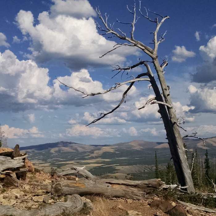
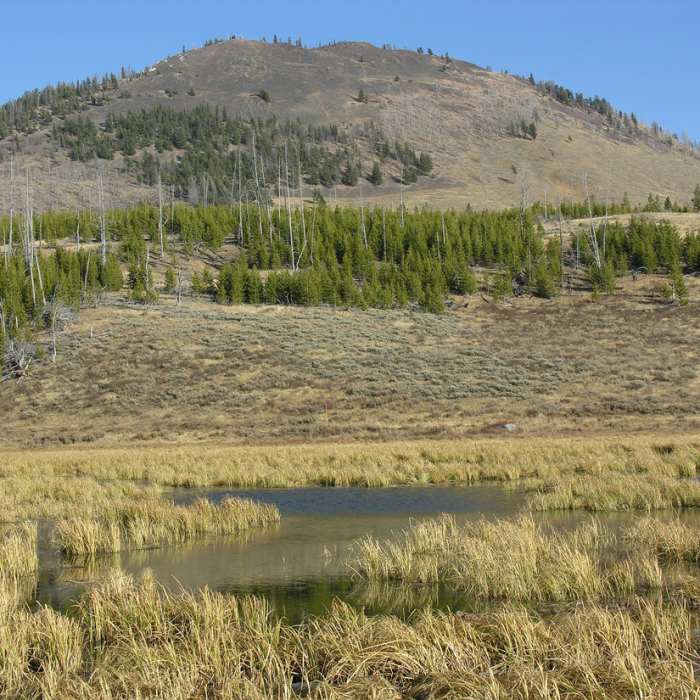
This popular trail quickly begins its 1,300 foot climb through forests burned in 1988. Soon, the trail grows steeper and enters a series of switchbacks. Northern switchbacks afford impressive views of Cathedral Rock, the Hoodoos, Terrace Mountain, and the Golden Gate. The large rock outcrop that protrudes from Bunsen Peak was named Cathedral Rock for its "spire-like forms." The rock-slides of gray limestone blocks, beneath you were dubbed "The Hoodoos," because of the rock's ghostly shapes. These travertine blocks are remains of ancient hot spring terraces (similar to Mammoth Hot Springs) that over thousands of years broke away and cascaded down from the top of Terrace Mountain. In the 1880s, a stagecoach road was built following a route similar to the current highway. This impressive feat of engineering, was called the "Golden Gate" because of the golden-colored lichens that cover the canyon walls.
Bunsen Peak (8564') formed volcanically about 50 million years ago. The peak may be the remains of a volcano that welled up but never blew out, or a small stock that solidified directly beneath a volcano. It is now exposed because erosion has stripped away the lava and volcanic breccia that once completely covered it. The peak was named for Robert Wilhelm von Bunsen, a brilliant German scientist whose name is also attached to the Bunsen Burner you may remember from chemistry. In the 1840s, Bunsen conducted a study of Iceland's geysers and developed a theory on their workings that proved helpful to scientists later studying Yellowstone's geysers.
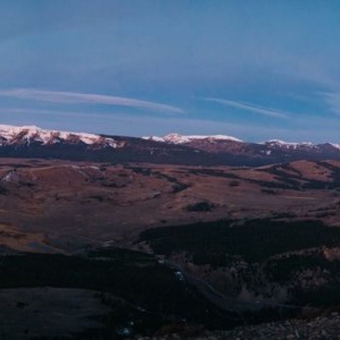
At the 2-mile mark, you reach the first of Bunsen Peak's three small summits (don't disturb the communication equipment). Beneath you to the west lies Swan Lake Flat and the Gallatin Range. This valley is also known as Gardner's Hole after Johnson Gardner, who trapped beaver here in the 1830s.
Most turn around at the summit, but you can continue over the three small summits and follow the well-marked trail another 2 miles, steeply descending more than 1300 feet down the peak's northeastern slope to a junction with the Bunsen Peak Road. From there, to make it a loop hike, continue to the right and follow the Bunsen Peak Road Trail another 3 miles back to the Bunsen Trailhead.
Thanks to guidebook author, Tom Carter, for sharing this trail description. To learn more about visiting Yellowstone, check out his book, Day Hiking Yellowstone.
All Clear
All Clear
One patch of snow towards the top. Ton of people on a Sunday afternoon. Ran the loop, saw no large animals (besides humans). Trail is dry and beautiful.
All Clear
Some Issues
Looking for more condition reports?
Contributors

