Ready to explore this trail?
View Trail Map in AppPath Type
Point to Point
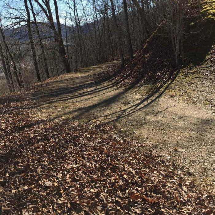
The Garfield Trail follows the old wagon road that connected Prestonsburg with Paintsville and other points north. This trail begins in an unassuming location next to a metal scrap yard in West Prestonsburg and climbs above the CSX railroad tracks and the Levisa Fork of the Big Sandy River.
There are nice views of the north end of Prestonsburg that can be enjoyed along the length of this trail, especially in the winter months. The trail surface varies from loose gravel to dirt, with some wet areas.
No Condition Reports
Perry Park Trail System - 4 Mile Loop
Perry Park Trail System - 4 Mile Loop
Sheltowee - Osborne Loop
Sheltowee - Osborne Loop
Swift Camp Creek to Wildcat Trail Loop
Swift Camp Creek to Wildcat Trail Loop
Chimney Top Trail #235
Chimney Top Trail #235
Michael D. Young Trail
Michael D. Young Trail
Little Shepherd Trail
Little Shepherd Trail
Contributors

