Near Santa Rosa Trail
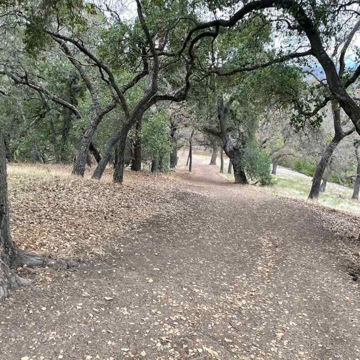
Looking down the hill that the Ridge Trail climbs to get above the parking lot and Los Gatos, providing some nice views of the area.
Near Santa Rosa Trail
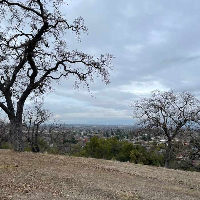
The view of the San Jose and the South Bay from the Ridge Trail. The trees along the ridge line provide nice shade in the spring and summer, and then lose their leaves in the Fall.
Near Santa Rosa Trail
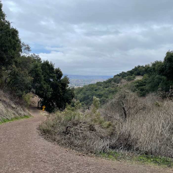
The Santa Clara trail from the fork in the trail. From here, you start to get glimpses of Silicon Valley below you.
Near Santa Rosa Trail
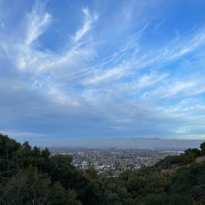
The view of the South Bay Area from the Santa Rosa Trail.

Looking for more photos?

View All Photos
View Map
Driving Directions
Hike Trail

Santa Rosa Trail

4.0 (2 Ratings)
Trail leading up into the preserve with views of the South Bay opening up below you.
1
mi
Distance
455
ft
Gain
moderate
Difficulty
Views
Access Issues
Santa Rosa Open Space is open from 6 am to sunset throughout the year.

Route Details

Flatter
Steeper
1.04mi
Distance
455ft
Elevation Gain
15ft
Elevation Loss
50%
Max Grade
760ft
High Point
320ft
Low Point
Path Type
Point to Point
Description
The Santa Rosa Trail departs from Belgatos Park and climbs up into Santa Rosa Preserve. The trail departs the parking area in the park and runs by the playground before turning to the right, crossing a bridge and crossing the Fire Road connector. Many people just take the Fire Road up to where the trail breaks off to the right and starts climbing higher into the preserve. The trail is a double wide dirt trail at this point and passes through a patch of trees before really starting to climb. Here, the trail is more exposed, so make sure to have sunscreen and hats on sunny days. The trail climbs a series of switchbacks before coming to a fork in the trail. From here, you can turn to the right and take a short connector up into Heintz Open Space Preserve where you can follow the Sky or Valley View Trails. If you go to the left, the Santa Rosa Trail starts to level out and climbs gently up the hillside. The views of Silicon Valley are excellent from up here. The trail winds around the hillside and finally arrives at Santa Rosa Drive. From here, you can turn around and retrace your steps back to your car. If you have more time, you can follow Santa Rosa Drive to the left to Madera Court Drive, and link up with the Fire Road and Ridge Trails to create a nice loop.

Route Conditions

Report Conditions
No Condition Reports
Report Conditions

Nearby Hike Routes

Quicksilver - McAbee Loop CCW

Hike Route

Quicksilver - McAbee Loop CCW

Family Friendly
moderate
4.45 mi
+771 ft
Bald Mountain Out and Back

Hike Route

Bald Mountain Out and Back

Views
easy
1.3 mi
+85 ft
Mount Umunhum Summit and Back

Hike Route

Mount Umunhum Summit and Back

Birding
moderate
7.86 mi
+1,197 ft
Quicksilver History Loop

Hike Route

Quicksilver History Loop

Family Friendly
moderate
6.8 mi
+1,358 ft
Almaden Quicksilver County Park Historic Trail

Hike Route

Almaden Quicksilver County Park Historic Trail

Dogs Allowed
moderate
6.62 mi
+1,420 ft
Rancho San Vicente Loop

Hike Route

Rancho San Vicente Loop

Birding
moderate
8.24 mi
+946 ft
Contributors
David Hitchcock
