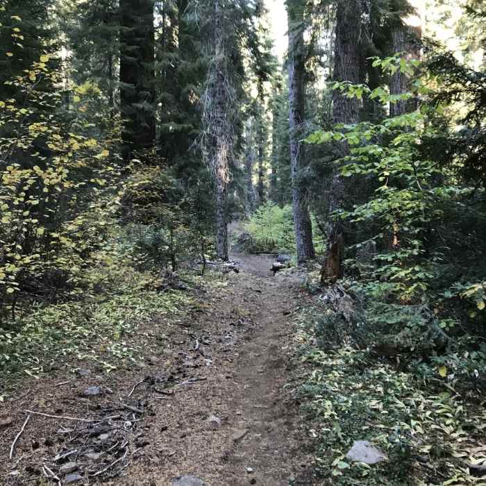
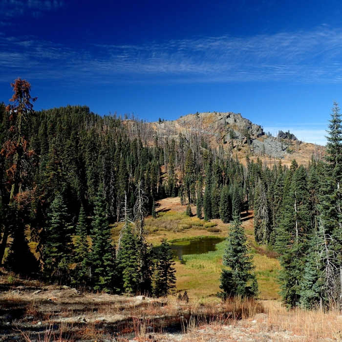
Near Red Rock Trail #5538
Fall on Canyon Creek Trail in Marble Mountain Wilderness.
Near Red Rock Trail #5538
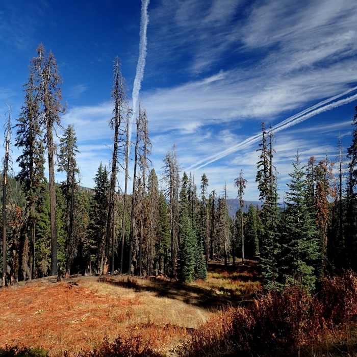
Along the Red Rock Trail just below the PCT
Near Red Rock Trail #5538
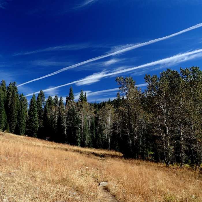
Aspen groves along the Red Rock Trail #5538
Near Red Rock Trail #5538
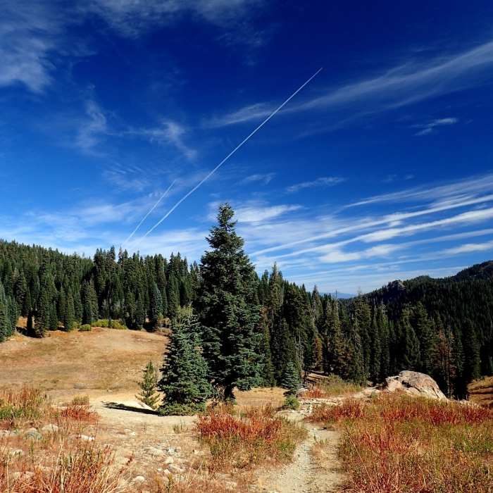
Higher up in the Red Rock Valley
Near Red Rock Trail #5538
A small unnamed lake just off the Red Rock Trail

Looking for more photos?

View All Photos
View Map
Driving Directions
Hike Trail

Red Rock Trail #5538

4.5 (4 Ratings)
A trail in the Marble Mountain Wilderness, across large meadows, to stunning views from the Pacific Crest Trail.
4.5
mi
Distance
2,330
ft
Gain
moderate
Difficulty
Commonly BackpackedLess CrowdedViewsWildflowers
Access Issues
The usual federal wilderness area regulations and restrictions apply here. There may also be additional wilderness-specific restrictions in force; check with the district office if in doubt. Practice Leave No Trace (LNT) backcountry skills and ethics. Camp 100 feet from fragile areas; bury human waste at least 200 feet from water, trails, and campsites. This trail is usually closed by snow from November to June.

Route Details

Flatter
Steeper
4.49mi
Distance
2,330ft
Elevation Gain
238ft
Elevation Loss
35%
Max Grade
6,365ft
High Point
4,241ft
Low Point
Path Type
Point to Point
Description
This trail passes through the high mountain meadows in the Red Rock Valley. Cattle are often grazing the meadows during the summer months - you'll hear their bells clanking. It is a less crowded, and less steep, way than the Canyon Creek Trail to reach the PCT or the Sky High Lakes from the Lovers Camp Trailhead. It can be used to form a nice backpacking loop trip with the Canyon Creek Trail, with an overnight at Shadow Lake or one of the Sky High Lakes.

Route Conditions

Report Conditions
No Condition Reports
Report Conditions

Nearby Hike Routes

Sky High Lakes Basin

Hike Route

Sky High Lakes Basin

Lake
strenuous
12.25 mi
+2,633 ft
Paradise Trailhead to Cliff Lakes

Hike Route

Paradise Trailhead to Cliff Lakes

Lake
extreme
30.18 mi
+7,381 ft
Kelsey Creek to Cold Springs

Hike Route

Kelsey Creek to Cold Springs

Views
extreme
30.95 mi
+7,205 ft
Campbell + Cliff Lake

Hike Route

Campbell + Cliff Lake

Lake
strenuous
11.98 mi
+2,149 ft
Etna Mill Creek

Hike Route

Etna Mill Creek

Lake
extreme
30.92 mi
+9,704 ft
Pacific Crest Trail: California Section Q

Hike Route

Pacific Crest Trail: California Section Q

Wildflowers
extreme
53.93 mi
+10,247 ft
Contributors
BK Hope
