Ready to explore this trail?
View Trail Map in AppPath Type
Point to Point
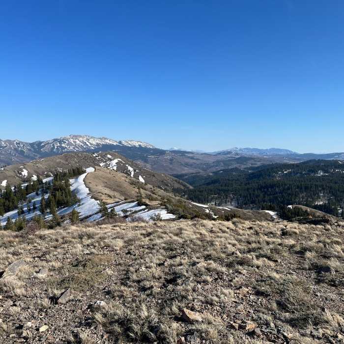
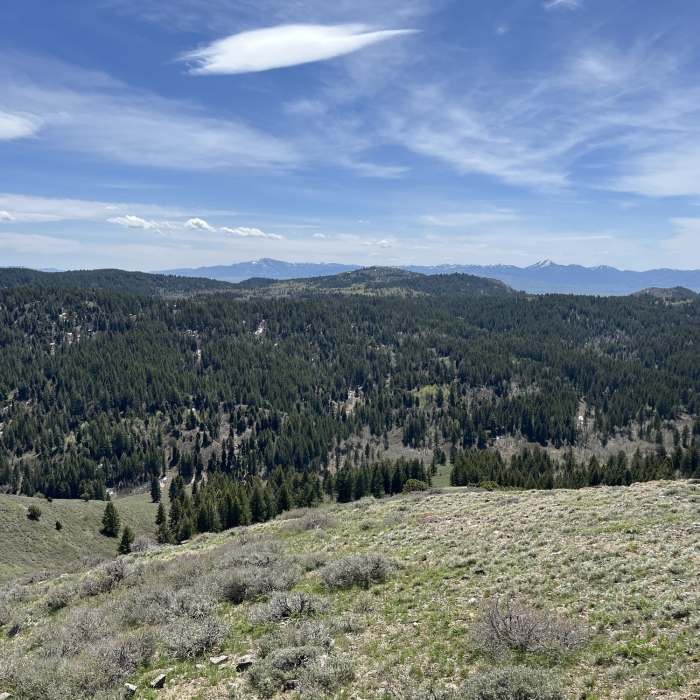
This trail begins at the Gibson Jack trailhead. It is a wide ATV track meant for mixed-use, but specifically it provides a route for motorized vehicles to access the backcountry east of Pocatello. The trail is steep in some places, and can be quite rocky at times, but overall, it is a great trail for hiking and running. The high ridge portion is especially fun, and the evergreen forests are great. The trail splits off from the main Gibson Jack trail within tenth of a mile from the beginning of the trailhead. The trail then crosses Gibson Jack Creek via a very nice new bridge. It then immediately climbs up the ridgeline south of Gibson Jack Creek, then switches back to head east and continues its relentless ascent. Watch for the Slate Mountain Trail fork at the top of the first ridge you crest. Slate goes to the left, and this trail goes uphill, to the right. After you reach the apex, at about 7000 feet, you drop down into a lush riparian area in the upper West Fork basin. The trail ends at Elk Meadows Loop, which provides adventurers with many opportunities for exploring. If you head to the right, going west, you can connect with Gibson Jack and take it back to the trailhead, making a 8.8 mile loop with close to 2000 feet of climbing.
No Condition Reports
Contributors

