Ready to explore this trail?
View Trail Map in AppPath Type
Point to Point
*For a more detailed description of this trail, plus a bonus "detour" near the end, see Freedom Park Stone Mountain Trail Hike
There are several options for parking and public transit listed at the Martin Luther King Jr. National Historic Site NPS Website.
Also check out the nearby Relay bikeshare program.
Begining from the King Center and Historic Ebenezer Baptist Church, cross Auburn Avenue heading north through the grounds of The MLK National Historic Site and the (new) Ebenezer Baptist Church. After a few blocks heading north, you'll turn right as the trail runs parallel with the south side of Freedom Parkway.
Right after crossing Highland Ave, you'll come across your first opportunity for food in the Old 4th Ward area. To the right, you'll see a place called "Across the Street". If you divert here, there are several choices, including Highland Bakery: a popular breakfast/brunch/lunch spot.
Continuing on, you'll come to a brief covered section and an uphill climb. At the top of the hill, you'll see a small white sign on the right with 2 arrows saying "Atlanta Beltline Trail" (right) and "Decatur and Stone Mountain" (straight). Just after this sign, you'll see a path to the right that branches off sharply and goes down a short hill to the Atlanta Beltline. Stay straight to go to Freedom Park and Decatur.
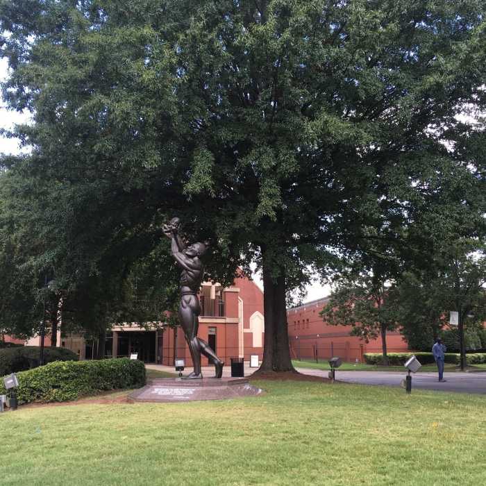
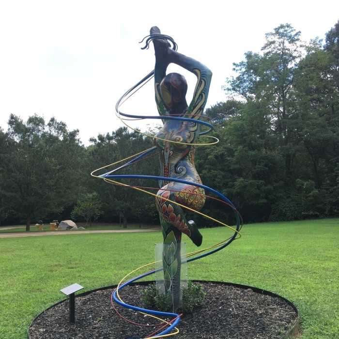
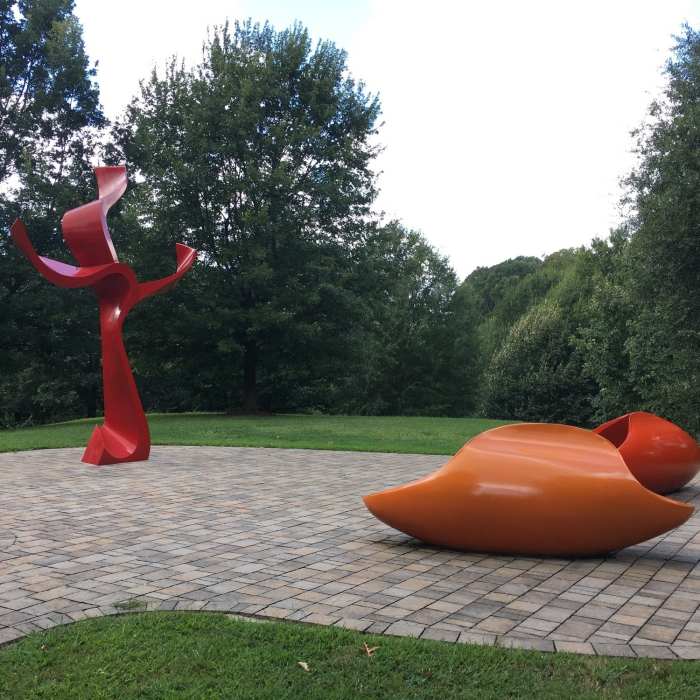
In the next half mile, you'll cross North Highland Ave, and and then Moreland Avenue. Once across Moreland, the sidewalk splits. Take a left immediately, then stay to the right to follow the main path through Freedom Park: a 200-acre greenspace with gently rolling terrain dotted with trees and some beautiful sculptures by local artists. After about half a mile's worth of sidewalk, the path crosses Euclid Ave, then Oakdale Rd. The next road is Candler Park Drive, where hikers hoping for a longer outing can branch off.
If you go straight across at Candler Park Drive, continuing to follow the PATH signs, the trail continues officially for about another half mile, ending at South Ponce De Leon Avenue. You can continue from here and pick up Stone Mountain Trail, which goes all the way to Stone Mountain Park (although some of that tail is directly along the road.)
No Condition Reports
Beltline Eastside Trail: Piedmont Park to Krog Street Market
Beltline Eastside Trail: Piedmont Park to Krog Street Market
Contributors

