

Ready to explore this trail?
View Trail Map in AppTrail will be affected by closures starting October 15th, 2026. See park website for more details.
Seasonal Access: State Route 67, which provides vehicle access to the North Rim trailhead, is closed during the winter season (typically from late November or early December until May 15).
Path Type
There and Back
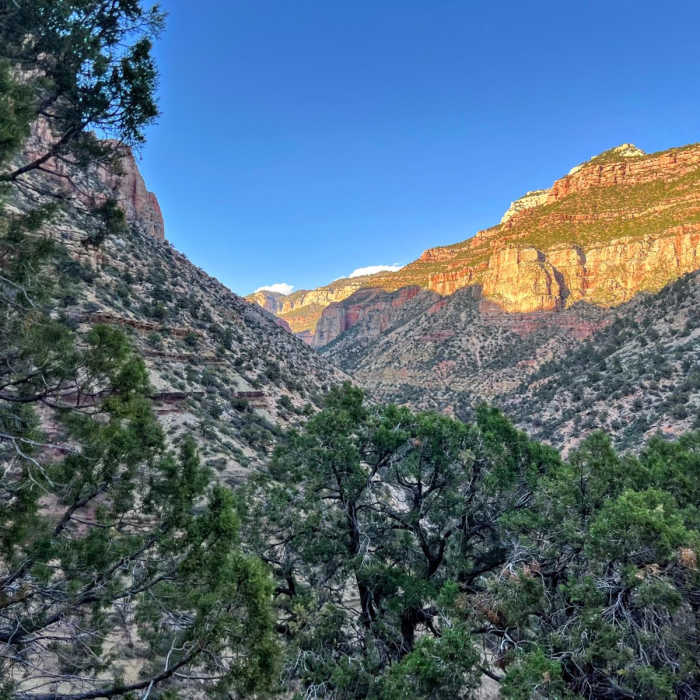
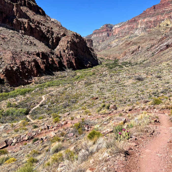
The Rim-River via North Kaibab Trail is a strenuous 28.7-mile out-and-back hike that descends from the North Rim of the Grand Canyon to the Colorado River. Starting at the North Kaibab Trailhead at an elevation of 8,243 feet, the route drops approximately 5,780 feet down to the canyon floor. As the only maintained trail entering the canyon from the North Rim, it offers unparalleled scenic beauty, rich biodiversity, and deep canyon solitude, though it is significantly more physically demanding and less crowded than the popular South Rim corridors.
The upper section of the trail consists of steep, dramatic switchbacks cut directly into the canyon walls. Key milestones along the descent include Coconino Overlook at 0.7 miles, Supai Tunnel at 1.7 miles (featuring seasonal drinking water and restrooms), and the Redwall Bridge at 2.6 miles. Further down, hikers pass Roaring Springs at 4.7 miles, where water gushes directly out of the canyon wall, and Cottonwood Campground at 6.8 miles, which offers backcountry campsites, seasonal water, and a ranger station.
Below Cottonwood Campground, the trail passes the junction for Ribbon Falls—a spectacular moss-covered waterfall oasis—before entering "The Box." This deep, narrow gorge along Bright Angel Creek can experience extreme summer heat, with temperatures routinely exceeding 110°F. The trail eventually emerges at Bright Angel Campground and the Colorado River, marking the turnaround point of the hike.
This route is highly physically demanding and is not recommended as a single-day round-trip. Backpackers must obtain a backcountry permit in advance to camp at Cottonwood or Bright Angel campgrounds. Hikers should be prepared for massive temperature variations between the rim and the inner canyon, carry plenty of water and electrolyte replacements, and respect trail etiquette by yielding to uphill hikers and mule trains.
No Condition Reports
Arizona Trail Passage 39: Grand Canyon - North Rim
Arizona Trail Passage 39: Grand Canyon - North Rim
Contributors

