Ready to explore this trail?
View Trail Map in AppPath Type
Point to Point
Wall Lake Trail is found at the 1.6 mile mark along Akamina Pass Trail. Turn left/south here to hike to Wall Lake.
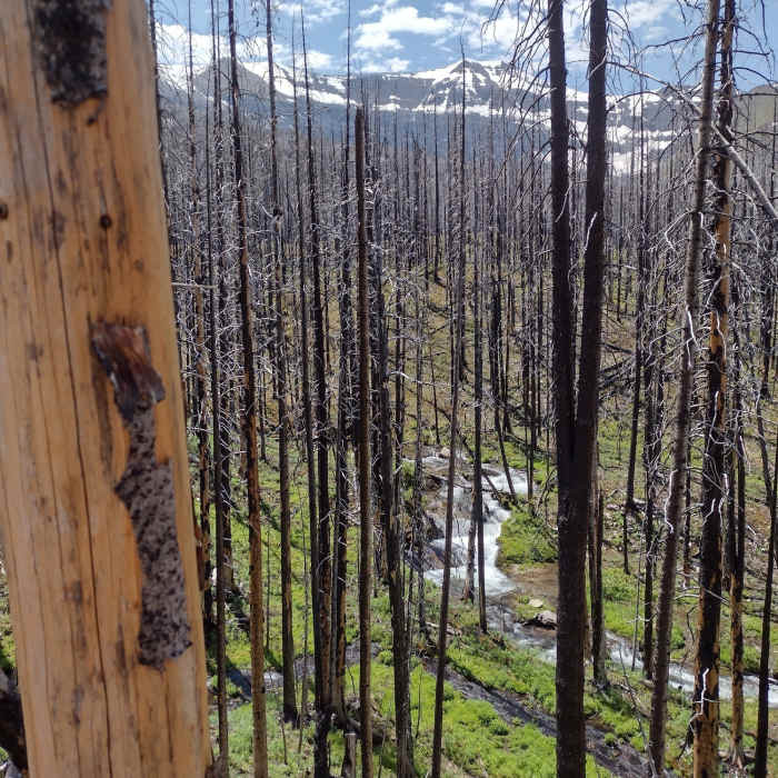
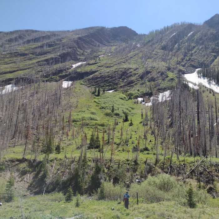
Wall Lake Trail runs through the regenerating burn area of the 2017 Kenow Wildfire. Views of nearby mountains are seen through the tall burnt tree trunks. On the ground everything is green, covered in new, low vegetation with wildflowers.
Initially heading south, Wall Lake Trail almost immediately veers west and then south again after 0.75 miles, to circle around the base of the ridge that separates Wall Lake and Forum Lake. After about 0.8 miles traveling on the west side of this ridge that rises steeply to the left, Wall Lake is reached.
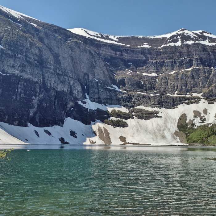
Wall Lake is a very pretty lake set in a steep sided cirque. The trail continues a short ways to the right/west along the lakeshore before ending after a total of 1.9 miles.
No Condition Reports
Carthew - Alderson Traverse
Carthew - Alderson Traverse
Goat Lake
Goat Lake
Blakiston Falls
Blakiston Falls
Tamarack Hike
Tamarack Hike
Continental Divide Trail: Montana-Idaho Section 30C
Continental Divide Trail: Montana-Idaho Section 30C
Montana Trail Section 2
Montana Trail Section 2
Contributors

