Ready to explore this trail?
View Trail Map in AppWilderness permits are required, but are easily obtained at any Stanislaus Forest ranger station. Campfires are not allowed above 9000 feet, but the entire trail is below that.
Path Type
Point to Point
Relief Valley and many of the other place names in the area commemorate the Clark-Skidmore Party, the first wagon train to cross this area. They filled chasms with tons of rock, drained Fremont Lake to make it passable and suffered extreme hardships, but unlike the Donner Party, they were rescued in Relief Valley and their trip ended successfully.
The Relief Valley Trail branches off of the Huckleberry Trail about 5 miles above the parking lot at Kennedy Meadows. It quickly drops about 150 feet and then crosses Summit Creek.
NOTE: The Summit Creek crossing can be extremely dangerous-to-impassible during the snow melt.
From Summit Creek, the trail climbs about 1200 feet over the next 3.5 miles. It passes through a deep coniferous forest with some aspen trees near Lower Relief Valley and some especially large incense cedars on the way to Upper Relief Valley.
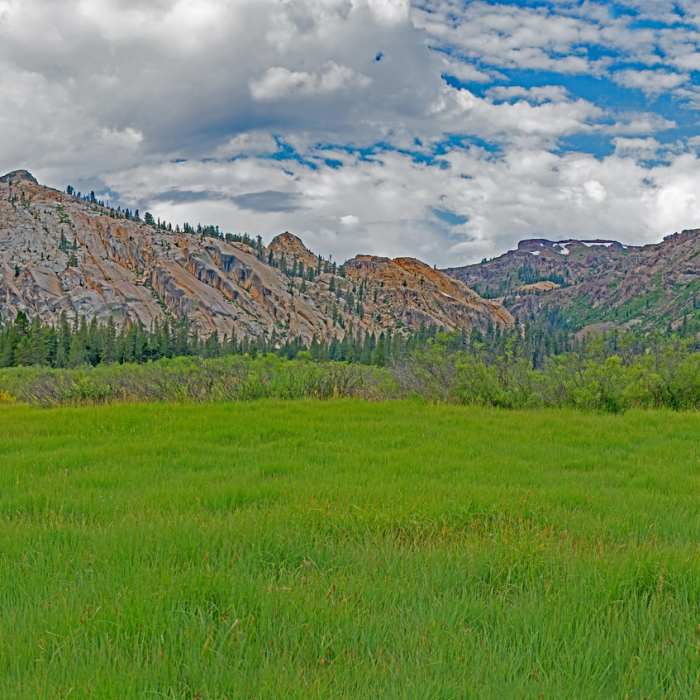
Lower Relief Valley is mostly covered with high shrubs, but there is an area of deep grass near the lower end from where you have clear 360-degree views, including East Flange rocks and the area around Granite Dome. The trail passes directly below East Flange Rock and climbs steeply up to reach Upper Relief Valley. There is a good camping site just before Upper Relief Valley.
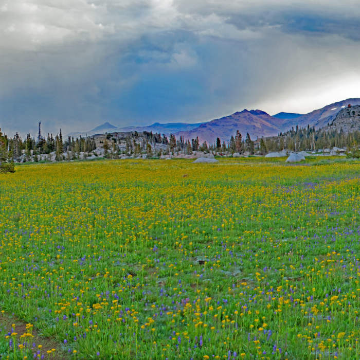
Upper Relief Valley is flat and covered with flowers. There are two shallow lakes away from the trail. For the rest of the trail, the hiking is easy with only gradual ups and downs. However, the streams are lazy and shallow and may dry up in the late season. Spring Meadow Lake and the stream and pools below it are especially beautiful. I saw at least two separate parties camping and fishing there.
A little over a mile before the trail's end at Deer Lake, you pass a signed trail going south to Wire Lakes, and a few hundred feet later, a signed trail going east to Long Lake. Both are short easy hikes, and the rocky Long Lake has great camping, fishing, and swimming.
From the end of the trail, you can easily make a loop back to Kennedy Meadows, taking either the Emigrant Lake Trail or the Huckleberry Trail back via Lunch Meadows.
No Condition Reports
Pacific Crest Trail: California Section J - Sonora Pass to Echo Lake
Pacific Crest Trail: California Section J - Sonora Pass to Echo Lake
Contributors

