Near Moab Rim Trail
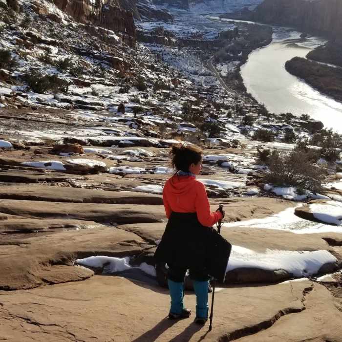
Descending from the rim on snowy slickrock was tricky, but the views were certainly worth it.
Near Moab Rim Trail
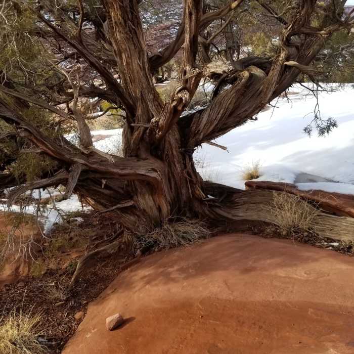
The Juniper trees on the anticline have the most creative root systems
Near Moab Rim Trail
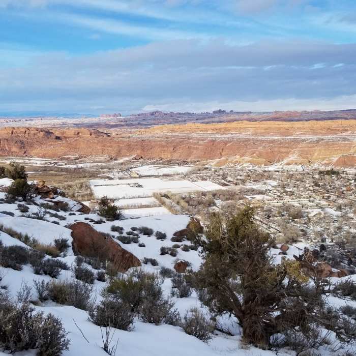
At the rim, there is a great view of Moab and the surrounding canyons.
Near Moab Rim Trail
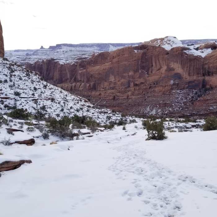
The steep anticline can get tricky if snowfalls. Hiking poles would help, regardless of season

Looking for more photos?

View All Photos
View Map
Driving Directions
Hike Trail

Moab Rim Trail

3.4 (5 Ratings)
One of Moab's premier downhills. But with the chairlift gone, now you have to earn it.
3.3
mi
Distance
1,240
ft
Gain
strenuous
Difficulty
Views

Route Details

Flatter
Steeper
3.34mi
Distance
1,240ft
Elevation Gain
333ft
Elevation Loss
40%
Max Grade
4,895ft
High Point
3,975ft
Low Point
Path Type
Point to Point
Description
The Moab Rim has been famous as a gnarly jeep trail for decades, but is used by many types of trail users. This trail runs along a ledge of purplish sandstone on the anticline that rises along the Colorado River to form the cliffs defining the western side of the Moab Valley. It mirrors the infamous Portal Trail on the other side of the river, but never becomes as broken, narrow, or sandy. Basically, the Moab Rim trail is slickrock all the way to the top. This sounds like good news, but there are brutal stair-step features and the angle is absolutely relentless. When you top out, turn around the mesa following the two-track to eventually meet up with the Hidden Valley trail. From here, you can make a loop hike by climbing your way through the edge of Behind The Rocks Wilderness Study Area connecting to the Hidden Valley Trail, down the uber-gnarly "Barney Rubble", and finally utilizing Pipe Dream as your avenue back to town, though this loop is arguably easier in the other direction. Start at the staging area near Portal on the Kane Creek road. Once you are on the trail, it's hard to get lost: just follow the black rubber streak and don't fall off into the river far below.

Route Conditions

Report Conditions
No Condition Reports
Report Conditions

Nearby Hike Routes

Moonflower Canyon

Hike Route

Moonflower Canyon

Fall Colors
moderate
0.58 mi
+27 ft
Moab Retreat: Day 1 Half Pint

Hike Route

Moab Retreat: Day 1 Half Pint

strenuous
6.49 mi
+956 ft
Long Amasa Loop

Hike Route

Long Amasa Loop

Birding
strenuous
12.86 mi
+2,082 ft
Longbow Arch Trail (Longview Arch)

Hike Route

Longbow Arch Trail (Longview Arch)

Geologically Significant
strenuous
2.24 mi
+477 ft
Funnel Arch Hike

Classic Hike Route

Funnel Arch Hike

Views
moderate
0.58 mi
+321 ft
Corona Arch Trail

Hike Route

Corona Arch Trail

Geologically Significant
moderate
2.31 mi
+687 ft
Contributors
F Felix
