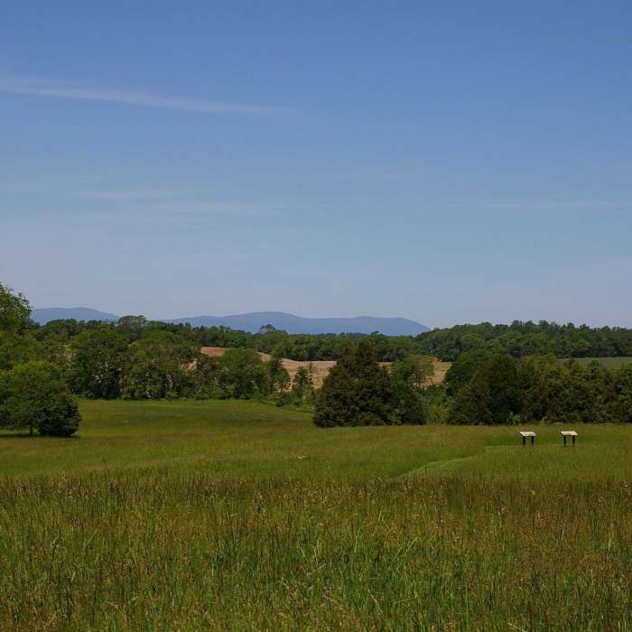
Near Buford's Knoll Interpretative Trail
View from Buford's Knoll looking west.

Looking for more photos?

View All Photos
View Map
Driving Directions
Hike Trail

Buford's Knoll Interpretative Trail

5.0 (1 Rating)
Experience the beginning of the largest cavalry engagement in American history!
0.9
mi
Distance
48
ft
Gain
easy
Difficulty
Fall ColorsRiver/CreekViews

Route Details

Flatter
Steeper
0.86mi
Distance
48ft
Elevation Gain
29ft
Elevation Loss
10%
Max Grade
331ft
High Point
278ft
Low Point
Path Type
Point to Point
Description
The Brandy Station - Buford's Knoll Battlefield trail is a seven-stop hike that will guide you through the Battle for Buford's Knoll and the Beverly Ford Road. This trail is one of three that explores the battlefield at Brandy Station. Explore the ground where Col. John Buford's lead element ran into pickets of the 6th Virginia, who mad every effort to stop the Union advance on June 9, 1863.

Route Conditions

Report Conditions
No Condition Reports
Report Conditions

Nearby Hike Routes

Whitney State Forest Blue Loop Trail

Hike Route

Whitney State Forest Blue Loop Trail

Birding
moderate
2.38 mi
+265 ft
Riverside Preserve Loop Trail

Hike Route

Riverside Preserve Loop Trail

Fishing
moderate
1.74 mi
+115 ft
Old Rag Loop

Hike Route

Old Rag Loop

Birding
strenuous
8.95 mi
+2,478 ft
Sunshine Quarry Loop

Hike Route

Sunshine Quarry Loop

Birding
moderate
5.83 mi
+534 ft
Farms to Forest Complete Loop

Hike Route

Farms to Forest Complete Loop

Fall Colors
easy
2.7 mi
+190 ft
Fredericksburg Quarry Trails Hike

Hike Route

Fredericksburg Quarry Trails Hike

moderate
5.04 mi
+445 ft
Contributors
American Battlefield Trust
