Ready to explore this trail?
View Trail Map in AppFlush restroom closed Nov. 1 - March 14. Vehicles over 24 feet not recommended.
Path Type
Point to Point
This trail starts off from the paved overlook trail and remains paved as it descends down to the old hydroelectric dam. There it crosses in front of the former spillway on a wooden bridge. Hereafter the trail becomes narrow and rocky with an "informal" vibe to it. Parts can be steep and the footing can be loose so be careful.
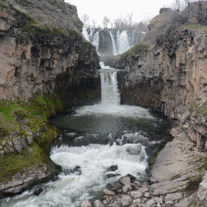
About halfway down to the hydro plant you'll come to an excellent viewpoint of the two-tiered falls upriver. Continue down to the old hydro power plant that was in operation from 1910 until 1963. Its remains add an interesting historical perspective to the hike. After this comes a sort of "beach" with access to the river. However, be mindful that flash-floods can occur and even when calm the river has a strong current! After this you can continue on rocky terrain along the river to the much smaller but still lovely lower falls.
Note that this hike is best in winter and spring when the river flows strongest. By fall it can be down to a trickle.
No Condition Reports
Oval Lake + Palisade Point via Lookout Mountain/Divide Trail
Oval Lake + Palisade Point via Lookout Mountain/Divide Trail
Contributors

