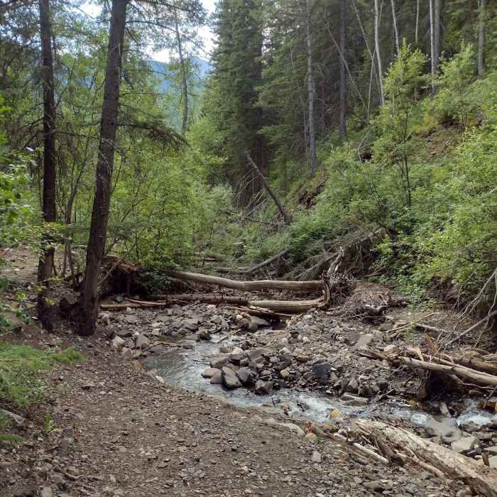
Near Eaton Falls
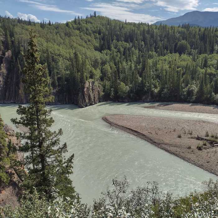
The silty Smoky River flowing right to left, entering the Sulphur Gates cliffs on the left to meet the Sulphur River (not seen) out of view to the left.
Near Eaton Falls
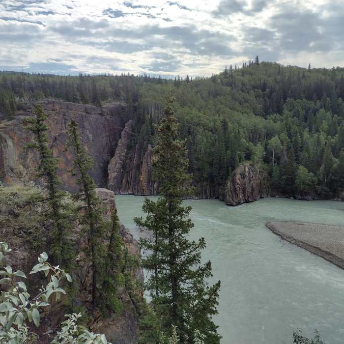
The Smoky River flowing towards the Sulphur Gates cliffs, left-center.
Near Eaton Falls
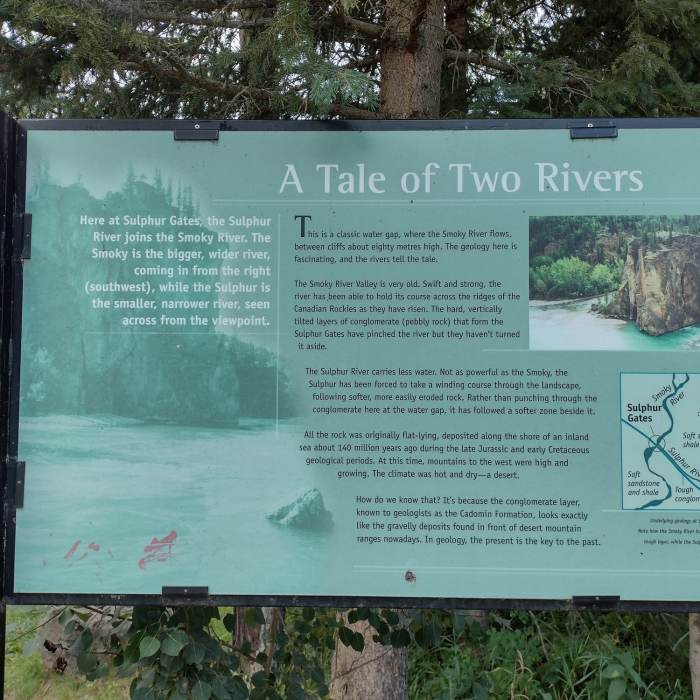
Detailed description of the rivers and geology of Sulphur Gates, a Gem
Near Eaton Falls
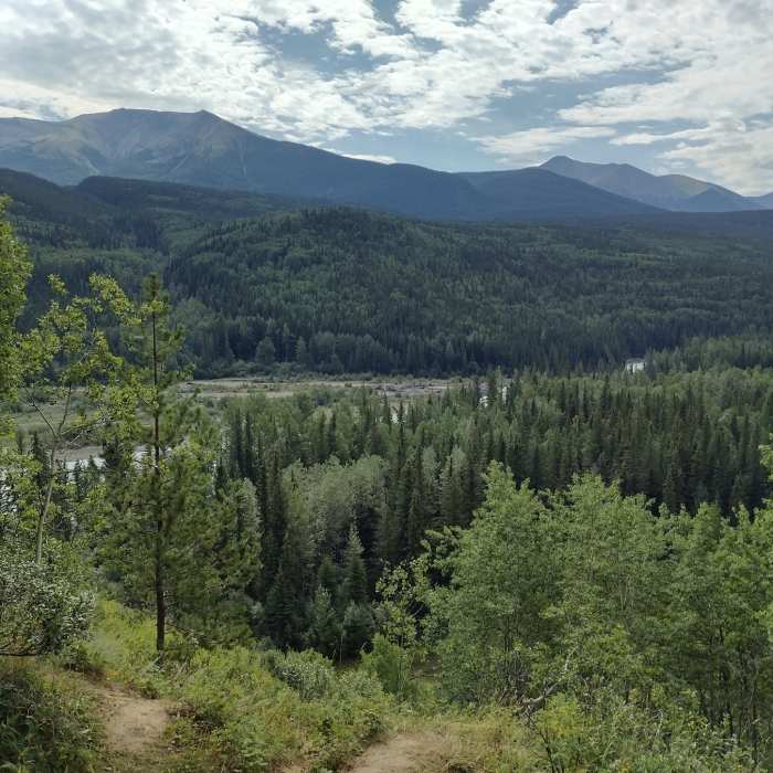
The Smoky River is seen below with a backdrop of the forested mountains on the way to Eaton Falls.
Near Eaton Falls
Eaton Creek below the falls, late August.

Looking for more photos?

View All Photos
Driving Directions
Hike Trail

Eaton Falls

3.0 (1 Rating)
Nice trail above the Smoky River to a waterfall in the forest.
2.2
mi
Distance
536
ft
Gain
moderate
Difficulty
River/CreekViewsWaterfallWildflowers

Route Details

Flatter
Steeper
2.19mi
Distance
536ft
Elevation Gain
388ft
Elevation Loss
35%
Max Grade
3,514ft
High Point
3,264ft
Low Point
Path Type
Point to Point
Description
The trail to Eaton Falls starts at the southwest corner of the parking area at the end of the road. Look for small signs to Eaton Falls and Access to Willmore. Most of this Eaton Falls Hike is on a wide, fire road style trail through the pretty forest. The trail runs along the Smoky River, above it. Sometimes the river and mountains are close enough to be seen through the trees, other times they are not visible, but they are always there. There are a few wonderful overlooks of the river, along the way. The trail starts out relatively flat with a few small ups and downs for the first 0.9 miles. Then it climbs up and over a hill for about 3/4 of a mile. After this hill, at the 2.0 mile mark there is a signed fork in the trail. Go right here onto singletrack trail that takes you to the base of Eaton Falls after another quarter mile. Continuing left on the wide trail takes one to Kvass Flats. There is some fun scrambling and nice places to snack around the bottom of the falls. These narrow falls cascade down an impressive cliff.

Route Conditions

Report Conditions
No Condition Reports
Report Conditions

Nearby Hike Routes

Find more hikes near: Grande Cache, Alberta
Swift Creek Lookout Hike

Hike Route

Swift Creek Lookout Hike

Fall Colors
moderate
2.19 mi
+351 ft
Valley of the Five Lakes Trail

Hike Route

Valley of the Five Lakes Trail

Family Friendly
moderate
2.98 mi
+435 ft
Mount Edith Cavell Tour

Hike Route

Mount Edith Cavell Tour

Geologically Significant
moderate
4.41 mi
+1,765 ft
Contributors
Joan Pendleton
