Near Sanborn Trail
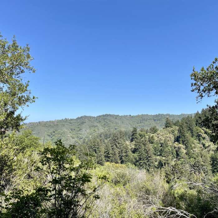
View from a bend in Sanborn Trail. The trail changes from a fire road to a hiking trail at this point.
Near Sanborn Trail
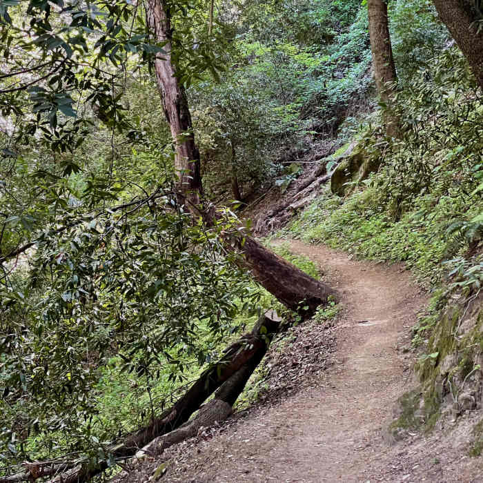
The upper part of the trail passes through some beautiful forest, oft with a steep drop off on one side and quickly rising hill on the other.
Near Sanborn Trail
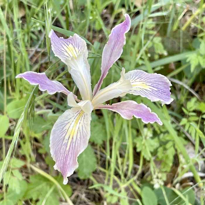
A colorful wild iris encountered along the side of Sanborn Trail.

Looking for more photos?

View All Photos
View Map
Driving Directions
Hike Trail

Sanborn Trail

4.0 (3 Ratings)
2.6
mi
Distance
1,599
ft
Gain
strenuous
Difficulty
Wildflowers

Route Details

Flatter
Steeper
2.57mi
Distance
1,599ft
Elevation Gain
73ft
Elevation Loss
60%
Max Grade
2,882ft
High Point
1,356ft
Low Point
Path Type
Point to Point
Description
Sanborn Trail starts as a paved road through the campgrounds area of the field and picnic area of Sanborn park. At the top of the campgrounds, it changes to a dirt service road and eventually a trail that leads all the way up to Skyline Boulevard. Most of the trail is a nicely shaded hike through the forest with a couple of open areas. Features include a stream that crosses the trail near the beginning where one can often find salamanders. Watch your step! The trail is gently to somewhat steeply sloped throughout. There are areas with step rocks, but only a few at a time. In the spring, many flowers can be found along the trail. Unfortunately, along with tons of poison oak, though easily dodged.

Route Conditions

Report Conditions
No Condition Reports
Report Conditions

Nearby Hike Routes

Saratoga Gap, Ridge Trail + Castle Rock Loop Hike

Hike Route

Saratoga Gap, Ridge Trail + Castle Rock Loop Hike

Views
moderate
4.78 mi
+1,104 ft
Castle Rock Loop

Hike Route

Castle Rock Loop

Birding
moderate
3.68 mi
+863 ft
John Nicholas to Skyline Shuttle

Hike Route

John Nicholas to Skyline Shuttle

Family Friendly
moderate
5.18 mi
+1,160 ft
Skyline to the Sea Trail: Saratoga Gap to Big Basin Headquarters

Hike Route

Skyline to the Sea Trail: Saratoga Gap to Big Basin Headquarters

Views
extreme
15.02 mi
+1,664 ft
Fremont Older Open Space Loop

Hike Route

Fremont Older Open Space Loop

Views
moderate
5.77 mi
+1,190 ft
Fremont Older to Steven's Creek Reservoir Loop

Hike Route

Fremont Older to Steven's Creek Reservoir Loop

Lake
moderate
7.65 mi
+1,515 ft
Contributors
Yongbing Wan
