Near Sheltowee Trace NRT: Section 31
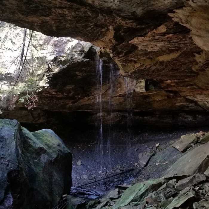
Large rock house with a little waterfall.

Looking for more photos?

View All Photos
View Map
Driving Directions
Hike Trail

Sheltowee Trace NRT: Section 31

4.3 (3 Ratings)
A trail with stone staircases, many stream crossings, and one of the largest rock shelters along Sheltowee Trace.
3.1
mi
Distance
190
ft
Gain
moderate
Difficulty
Fall ColorsRiver/CreekViews

Route Details

Flatter
Steeper
3.13mi
Distance
190ft
Elevation Gain
736ft
Elevation Loss
30%
Max Grade
1,376ft
High Point
741ft
Low Point
Path Type
Point to Point
Description
Section 31 starts at US 27 and ends at the National Park boundary. The trail starts easy but gets a bit more difficult a short ways in. Much of it is at a moderate level, but there are a few challenging spots consisting of multiple stream crossings and rock gardens. This is a short connector between US 27 and Big South Fork NRRA boundary. Once you get away from the highway, there is a real outback in-the-wilderness feel to it. The end is marked with an obvious large wooden sign that says "NPS Boundary".

Route Conditions

Report Conditions
No Condition Reports
Report Conditions

Nearby Hike Routes

Yahoo Falls Loop

Hike Route

Yahoo Falls Loop

Birding
moderate
1.04 mi
+352 ft
Sheltowee Trace NRT: Big South Fork NRA

Hike Route

Sheltowee Trace NRT: Big South Fork NRA

Commonly Backpacked
moderate
47.62 mi
+6,531 ft
2019 NB100 Training Camp: Day 1

Hike Route

2019 NB100 Training Camp: Day 1

Cave
strenuous
20.99 mi
+2,641 ft
Angel Falls Overlook to Grand Gap Loop

Hike Route

Angel Falls Overlook to Grand Gap Loop

Birding
strenuous
11.66 mi
+2,011 ft
Natural Bridge Loop

Hike Route

Natural Bridge Loop

Fall Colors
moderate
1.23 mi
+178 ft
Slave Falls Loop Trail

Hike Route

Slave Falls Loop Trail

Fall Colors
moderate
3.04 mi
+232 ft
Contributors
Jeff Carter
