Near Stanshaw Trail
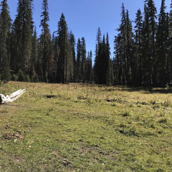
Let'er Buck Meadow on Haypress Trail.
Near Stanshaw Trail
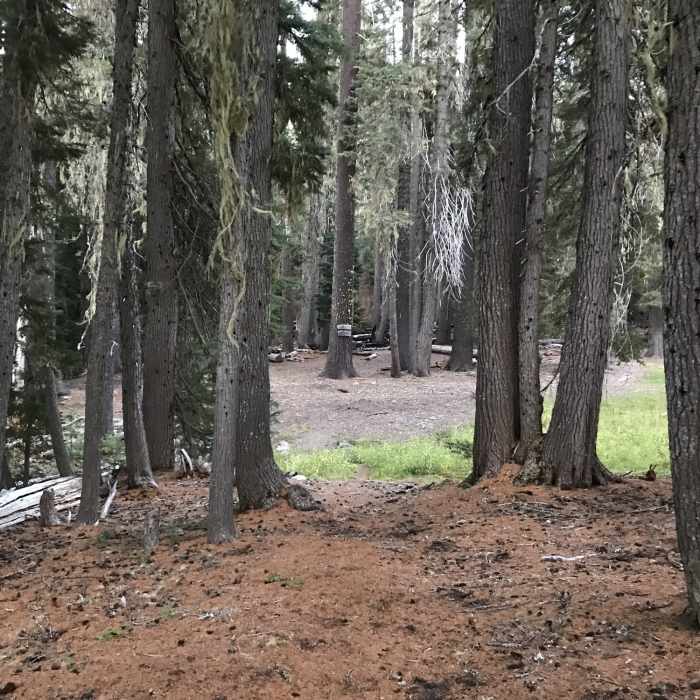
Intersection of Haypress and Stanshaw Trails
Near Stanshaw Trail
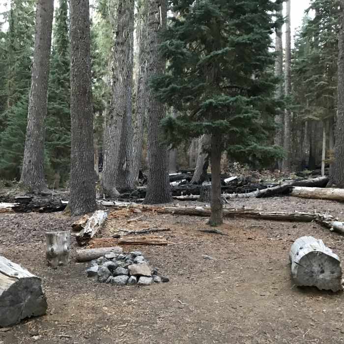
Campsite at junction of Stanshaw and Haypress Trails.

Looking for more photos?

View All Photos
View Map
Driving Directions
Hike Trail

Stanshaw Trail

3.0 (2 Ratings)
A horse and hiker trail through beautiful meadows to connect with Haypress Trail.
3.3
mi
Distance
509
ft
Gain
moderate
Difficulty
BirdingLess CrowdedWildflowers
Access Issues
Generally accessible from June to October.

Route Details

Flatter
Steeper
3.26mi
Distance
509ft
Elevation Gain
628ft
Elevation Loss
25%
Max Grade
5,176ft
High Point
4,711ft
Low Point
Path Type
Point to Point
Description
The Stanshaw Trail was developed for horse riders and to ease the trailhead crowing from the Haypress Trail. The trail has a gentle grade and travels through beautiful meadows. Be prepared to yield appropriately to equine traffic!

Route Conditions

Report Conditions
No Condition Reports
Report Conditions

Nearby Hike Routes

Paradise Trailhead to Cliff Lakes

Hike Route

Paradise Trailhead to Cliff Lakes

Lake
extreme
30.18 mi
+6,265 ft
Sky High Lakes Basin

Hike Route

Sky High Lakes Basin

Lake
strenuous
12.25 mi
+2,208 ft
Kelsey Creek to Cold Springs

Hike Route

Kelsey Creek to Cold Springs

Views
extreme
30.95 mi
+7,205 ft
Campbell + Cliff Lake

Hike Route

Campbell + Cliff Lake

Lake
strenuous
11.98 mi
+2,149 ft
Pacific Crest Trail: California Section Q

Hike Route

Pacific Crest Trail: California Section Q

Wildflowers
extreme
53.93 mi
+6,793 ft
Etna Summit to South Russian Creek Loop

Hike Route

Etna Summit to South Russian Creek Loop

Views
extreme
35.79 mi
+7,478 ft
Contributors
Dara Zimmerman
