Ready to explore this trail?
View Trail Map in AppIf you start from Florence Lake, the rules for the John Muir Wilderness apply. Wilderness permits are required with year-round daily trailhead quotas. 40% of the quota is available on a walk-in basis at the High Sierra Ranger Office in Prather. Reservations are accepted up to one year in advance, but permits must be picked up in person. No campfires above 10,000 feet. Dogs on leash are allowed in the John Muir Wilderness, but not in Kings Canyon.
Path Type
Point to Point
This off-trail route has some steep sections, but there are no real difficulties. Only a couple of places require the use of hands. After the initial climb of 1000 feet, there is little additional climbing until the 350 foot climb at the end.
The route starts from the JMT about 0.7 miles southwest of the end of Colby Meadow. Cross Evolution Creek and hike up through the trees on the north side of the stream that comes down from McGee Lakes. Follow the branch that leads up to Lake 10865. About half-way up there is a very steep section, but it is basically dirt, not rock climbing.
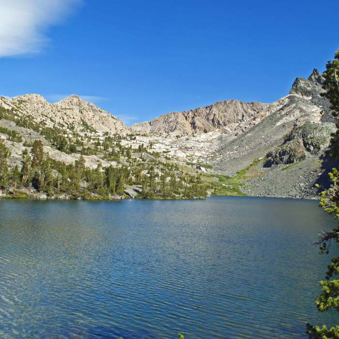
Lake 10865, with its crystal-clear water, sits in a shallow basin, surrounded by meadows and rocky outcrops. It has great views of Mt. Darwin, Mt. Mendel and the Glacier Divide. From there, contour northeast around the ridge and then drop down to Lake 10700.
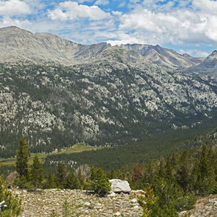
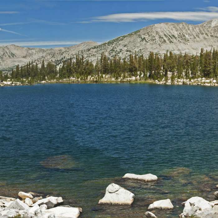
Lake 10700 is a little deeper and bluer, but otherwise very similar to Lake 10865. From Lake 10865 continue northwest for a little over a mile while contouring around the ridge and avoiding the steeper slopes above and below this route. Just before you round the ridge, there are sweeping views of the Glacier Divide, Mt. Goethe and the Mt. Darwin area, and of the meadows of Evolution Valley.
After rounding the ridge, work your way across a pond-filled basin to Lake 10554. This requires small amounts of up and down, but no significant elevation change. Lake 10554 is large and beautiful with the steep cliffs of Emerald Peak on the right side. There is good camping here, but no campfires are allowed.
Pass around the east side of the lake to the stream coming down from Lake 10918 and follow it up to that lake. Again, this is a fairly easy climb.
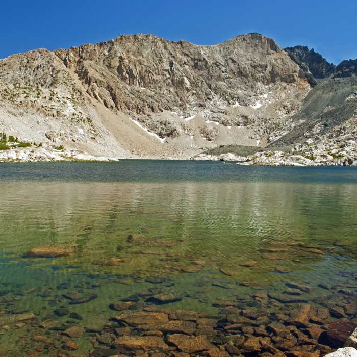
Lake 10918 is a large lake sitting in an almost barren cirque surrounded by rugged tawny cliffs on the east and south sides and the black cliffs of Emerald Peak on the west. There are only a few stunted trees around the edge.
From near the far side of the lake, it is possible to scramble up the black talus to a lake above 11200 feet. This has a 1300 foot dark cliff rising almost vertically to the top of Emerald Peak. The cliffs on two other sides are also spectacular, but not quite as close. Unless you are a very good rock climber, this is not the route to Emerald Peak.
Note: You could combine this route with a hike to McGee Lakes. From below the steep section of the initial climb (at about 10250 feet), you could contour to the creek from McGee Lakes or vice versa.
No Condition Reports
Contributors

