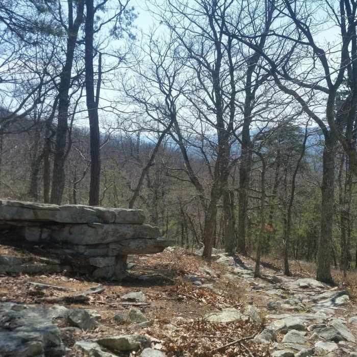
Near Sherman Gap Trail
Almost to the top.
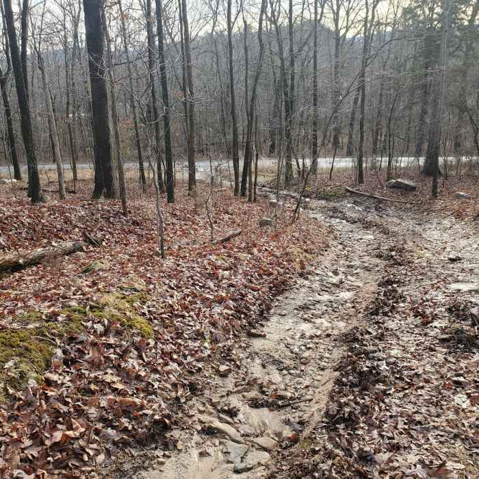
Near Sherman Gap Trail
End of Sherman Gap trail to Panhandle Road.

Looking for more photos?

View All Photos
View Map
Driving Directions
Hike Trail

Sherman Gap Trail

3.0 (1 Rating)
This singletrack trail heads up and over the ridge line of Massanutten Mountain.
5.6
mi
Distance
1,416
ft
Gain
strenuous
Difficulty

Route Details

Flatter
Steeper
5.57mi
Distance
1,416ft
Elevation Gain
1,691ft
Elevation Loss
35%
Max Grade
2,001ft
High Point
573ft
Low Point
Path Type
Point to Point
Description
Parking can be found at the northern trailhead at the Elizabeth Furnace Recreation Area. There is no parking at the southern trailhead, off Panhandle Road - US613. This is a rocky trail that only gets rockier and steeper as you get closer to the Massanutten Trail. Look out for poison ivy along stretches of the trail.

Route Conditions

Report Conditions
No Condition Reports
Report Conditions

Nearby Hike Routes

Bear Wallow-Massanutten Trail Loop

Hike Route

Bear Wallow-Massanutten Trail Loop

Birding
strenuous
8.24 mi
+1,754 ft
Signal Knob

Hike Route

Signal Knob

Views
strenuous
10.14 mi
+2,235 ft
Shawls Gap to High Peak

Hike Route

Shawls Gap to High Peak

Birding
moderate
7.93 mi
+1,813 ft
Dickey Ridge Loop

Hike Route

Dickey Ridge Loop

Birding
moderate
4.85 mi
+876 ft
Overall Run Falls via Thompson Hollow

Hike Route

Overall Run Falls via Thompson Hollow

Less Crowded
strenuous
6.76 mi
+1,774 ft
Lands Run Falls

Hike Route

Lands Run Falls

Birding
moderate
1.13 mi
+302 ft
Contributors
Tim Haggerty
