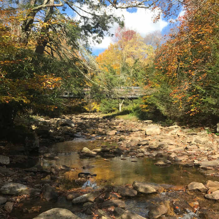
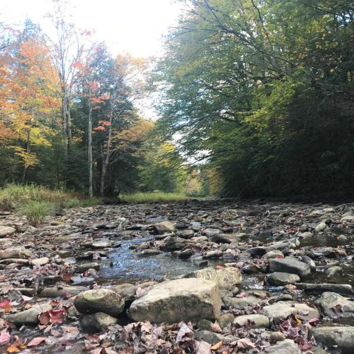
Near Forks of Cranberry
Cranberry River confluence with North Fork tributary
Near Forks of Cranberry
Cranberry River looking upstream

Looking for more photos?

View All Photos
Driving Directions
Hike Trail

Forks of Cranberry

3.0 (1 Rating)
Western 2/3 of Trail #245 Forks of Cranberry, a trail running between FR 102 and Pocahontas County Route 150.
3.7
mi
Distance
1,466
ft
Gain
strenuous
Difficulty
Commonly BackpackedFall ColorsViews

Route Details

Flatter
Steeper
3.69mi
Distance
1,466ft
Elevation Gain
320ft
Elevation Loss
20%
Max Grade
4,411ft
High Point
3,176ft
Low Point
Path Type
Point to Point
Description
This track is the western two-thirds or so of Trail #245 Forks of Cranberry. The western end is steep and poorly marked. There are no established campsites and little water. Much of the trail is a narrow opening through rhododendron bushes under towering evergreens. There are some good views, but much is blocked by the rhododendrons.

Route Conditions

Report Conditions
No Condition Reports
Report Conditions

Nearby Hike Routes

Cranberry Wilderness Loop

Hike Route

Cranberry Wilderness Loop

Cave
strenuous
16.56 mi
+2,022 ft
Blue Suck Falls Loop

Hike Route

Blue Suck Falls Loop

Fall Colors
moderate
8.66 mi
+2,032 ft
Beards Mountain Loop

Hike Route

Beards Mountain Loop

Fall Colors
moderate
6.2 mi
+1,509 ft
Manns Creek Gorge Trail

Hike Route

Manns Creek Gorge Trail

Less Crowded
moderate
4.48 mi
+764 ft
Nuttallburg Loop

Hike Route

Nuttallburg Loop

Fall Colors
moderate
2.49 mi
+323 ft
Endless Wall

Hike Route

Endless Wall

Fall Colors
moderate
4.39 mi
+475 ft
Contributors
Jason Garrett
