Near Inn Run Trail-Flagg Mountain-Goat Trail
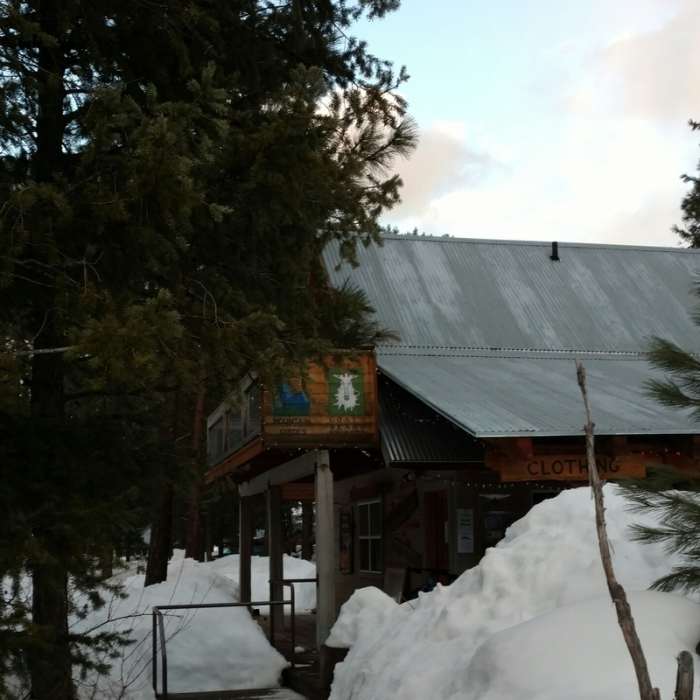
Photo on Feb 25, 2016. Goats Beard Mountain Supplies.
Near Inn Run Trail-Flagg Mountain-Goat Trail
Leaving Mazama

Looking for more photos?

View All Photos
Driving Directions
Hike Trail

Inn Run Trail-Flagg Mountain-Goat Trail

4.0 (1 Rating)
Nice multi-use trail and alternative to MCT when going to/from Mazama.
2.8
mi
Distance
178
ft
Gain
easy
Difficulty
Views

Route Details

Flatter
Steeper
2.8mi
Distance
178ft
Elevation Gain
130ft
Elevation Loss
25%
Max Grade
2,228ft
High Point
2,090ft
Low Point
Path Type
Point to Point
Description
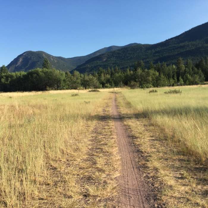
Singletrack trail leaves Mazama and at 0.7 miles follows next to the road for a short bit before entering back into the forest. A wider trail leads you up to a bridge to cross Goat Creek at 1.7 miles. The forest opens up and gives some nice views down into the Methow Valley before you cross a dirt road and pass a Sno-Park at 2.3 miles. Continue pass a cutoff to a road at 2.6 and continue a short distance until you meet an 3-way intersection with a Methow Valley trail sign. From here you can us the Goat Creek Cutoff Trail to get down to the Methow Community Trail on the other side of the main road about 0.4 miles away.

Route Conditions

Report Conditions
No Condition Reports
Report Conditions

Nearby Hike Routes

Patterson Lake via Rader Creek Loop

Hike Route

Patterson Lake via Rader Creek Loop

Lake
easy
4.38 mi
+512 ft
Copper Glance Lake

Hike Route

Copper Glance Lake

Lake
strenuous
6.2 mi
+2,728 ft
Washington Pass Overlook

Classic Hike Route

Washington Pass Overlook

ADA Accessible
moderate
0.25 mi
+28 ft
Blue Lake

Classic Hike Route

Blue Lake

Birding
easy
4.57 mi
+904 ft
Pacific Crest Trail: Harts Pass to Holman Pass

Hike Route

Pacific Crest Trail: Harts Pass to Holman Pass

Views
extreme
13.3 mi
+1,946 ft
Pacific Crest Trail: Harts Pass to Rainy Pass

Hike Route

Pacific Crest Trail: Harts Pass to Rainy Pass

River/Creek
strenuous
30.01 mi
+4,668 ft
Contributors
R Hill
