Ready to explore this trail?
View Trail Map in AppPath Type
Point to Point
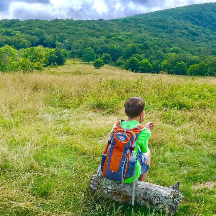
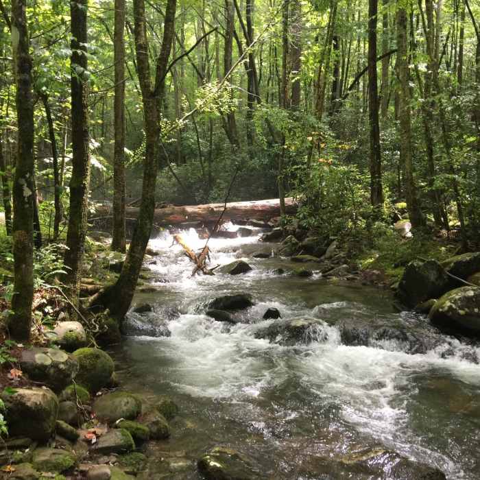
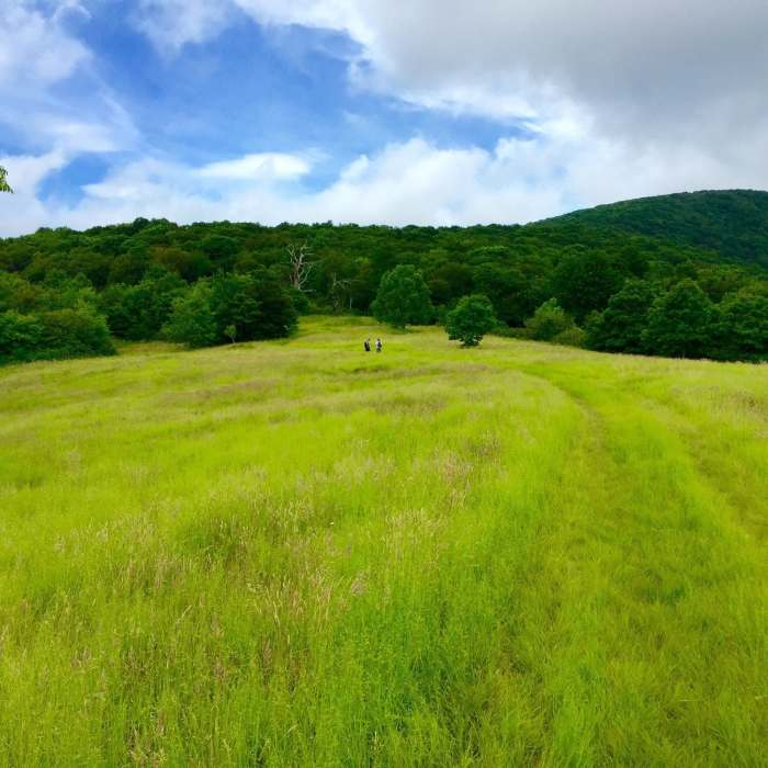
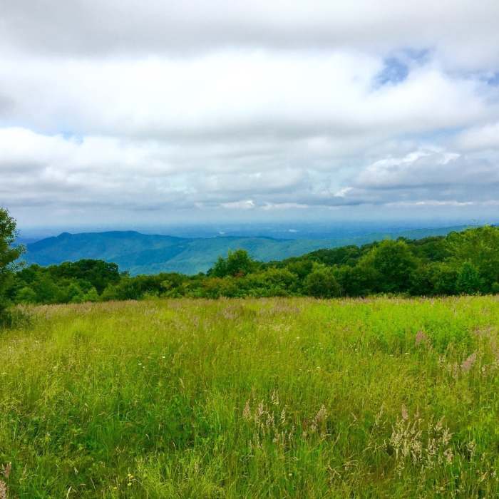
Points of Interest along this section: The Pheasant Fields trout fish hatchery on the Tellico River is worth the side trip to check out the huge breeder trout. The trail along the lower stretch of Sycamore Creek is very scenic with several small waterfalls and cascades. Whigg Meadow is a high elevation bald at 5000 feet with full 360 degree views and a great campsite (see p. 5). It is a truly spectacular special place. The Whigg family once lived on the north edge of this meadow growing their subsistence crops and raising sheep. The old home foundation can be found near the north end of the meadow (WP 61). In the springtime, the flame azalea in this area can intoxicate your senses. Blackberries and huckleberries abound along the edges of the meadow as well. Bears are especially fond of these, so BE BEAR AWARE especially in July and August.
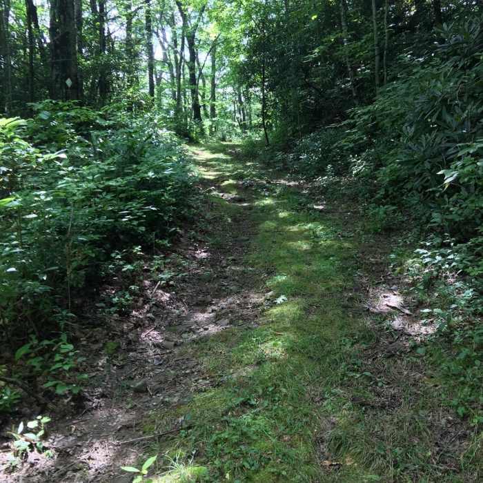
Trail Description: This especially scenic section of trail crosses the Tellico River on a cement bridge at mile 152.0 (WP 58). It then turns right and follows an old logging road on the west side of Sycamore Creek for 2 miles before switch-backing to the left up the hillside at 154.0, just after crossing Mangum Branch. At mile 152.5, the Whigg Ridge Trail (#86) cuts left up the ridge. The BMT soon switchbacks again, then crosses Mangan Branch again at mile 154.9. The third switchback is at mile 156.5. The trail reaches the Whigg Meadow Road (FR 61) at mile 158.1 (WP 63). Continue uphill, along this road to Whigg Meadow at mile 159.4 (WP 62),
Campsites: Three great creek side campsites (WP 64; WP 65) are along Sycamore Creek and the third at the third switchback at mile 156.5 (WP 66). To reach this campsite with its water slide, go straight at the switchback for about 0.1 miles. Whigg Meadow makes a great campsite as well (WP 62). Other small LNT sites are also easily found. A developed fee campsite with pit toilets is a half mile up River Road (Davis Branch CG)
Water Sources: Water is available all along Sycamore Creek, at the Mangum Branch crossings (WP 67, C) and at several seeps along the trail. A spring is in the woods behind the campsite by the gate to Whigg Meadow and a pond is down the west side of the meadow (WP 68).
No Condition Reports
Contributors

