Near Wheeler Creek Trail
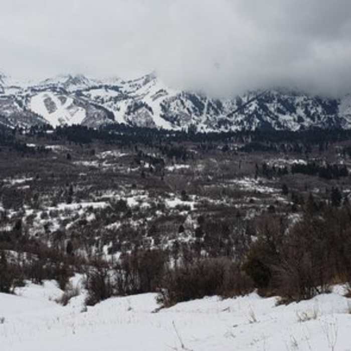
Pano of Snowbasin from Art Nord
Near Wheeler Creek Trail
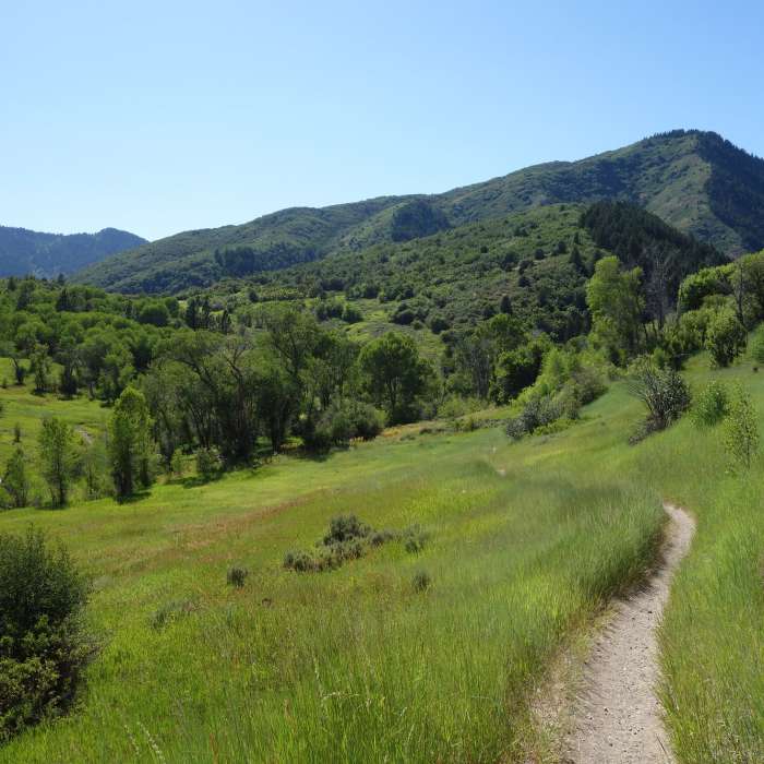
Middle Fork trail near the Green Pond trailhead at the height of summer.

Looking for more photos?

View All Photos
Driving Directions
Hike Trail

Wheeler Creek Trail

4.0 (2 Ratings)
A rolling trail that ties together the Wheeler Creek Trail System.
3.7
mi
Distance
981
ft
Gain
moderate
Difficulty
Fall ColorsRiver/CreekWildflowers

Route Details

Flatter
Steeper
3.74mi
Distance
981ft
Elevation Gain
224ft
Elevation Loss
45%
Max Grade
6,266ft
High Point
5,444ft
Low Point
Path Type
Point to Point
Description
The Wheeler Creek Trail is popular because of it's close proximity to the Ogden area. It is an easier trail built to avoid steep climbs and with a wider trail tread for sharing the trail with bikes and horses. Wheeler Creek Trail connects Art Nord Trailhead to Maples Campground just north of Snowbasin Ski Area. The trail travels across the hillside through a variety of trees, shrubs, and mountain wildflowers.

Route Conditions

Report Conditions
No Condition Reports
Report Conditions

Nearby Hike Routes

Find more hikes near: Huntsville, UtahEden, UtahWolf Creek, Utah
Middle Fork to Wheeler Creek to East Fork Loop

Hike Route

Middle Fork to Wheeler Creek to East Fork Loop

Fall Colors
moderate
6.44 mi
+965 ft
Wheeler - Icebox - Art Nord Loop

Hike Route

Wheeler - Icebox - Art Nord Loop

Fall Colors
moderate
4.13 mi
+872 ft
Mt. Ogden from Snowbasin

Hike Route

Mt. Ogden from Snowbasin

Less Crowded
strenuous
4.81 mi
+3,162 ft
Moose Trail Loop

Hike Route

Moose Trail Loop

easy
1.02 mi
+169 ft
Waterfall Canyon - Malan's Waterfall

Hike Route

Waterfall Canyon - Malan's Waterfall

Dogs Allowed
easy
1.19 mi
+1,113 ft
Mt. Ogden

Hike Route

Mt. Ogden

Birding
strenuous
14.67 mi
+5,265 ft
Contributors
Brian Smith
