Ready to explore this trail?
View Trail Map in AppUSFS rules, please:
- camp at least 200 feet away from lakes, creeks, and trails.
- leash dogs in crowded areas
- follow Leave No Trace Principles
Path Type
Loop
Cook Lake Loop is found along Highline Trail #7094 and the CDT/Fremont Trail at Pole Creek. The loop starts and ends at a trail junction along Highline Trail #7094, next to Pole Creek. The loop can be done in either direction. It is described in the counter-clockwise direction, starting from a trail sign on the south side of Pole Creek, here.
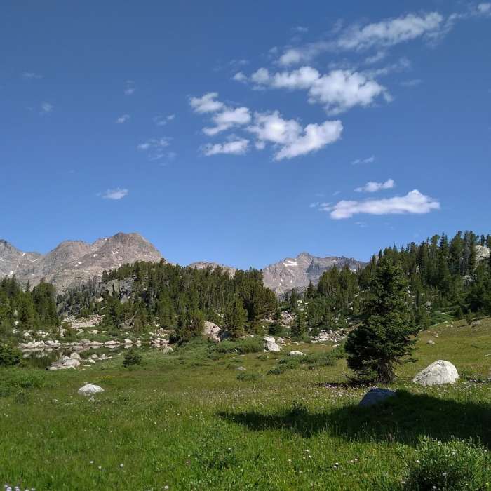
From the well signed trail start shown here, go right onto Cook Lake Loop without crossing Pole Creek. The trail climbs through the thin woods with views of meadows, to reach the CDT/Fremont Trail after 0.4 miles. Go right onto the CDT/Fremont Trail for a VERY short ways, and then go left at the sign pointing the way to Cook Lake Loop.
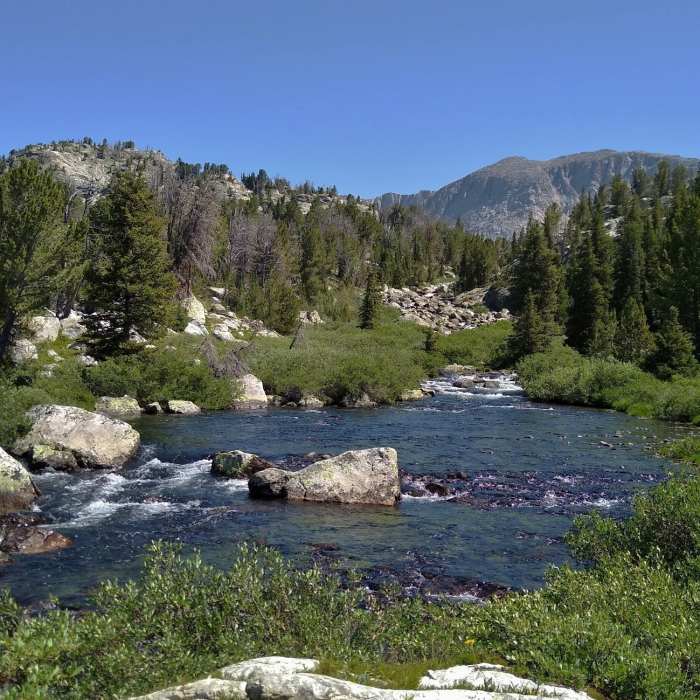
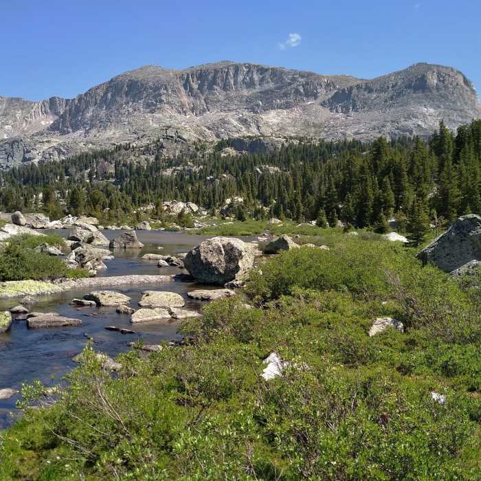
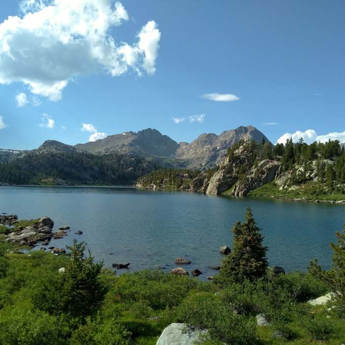
Cook Lake Loop is now basically flat as it goes through rocky meadows and thin woods with Pole Creek to the left/north. The trail is faint in places and can be muddy. Just before reaching the first Cook Lake, a creek is crossed. At the 0.8 mile mark the southern end of the first Cook Lake is reached.
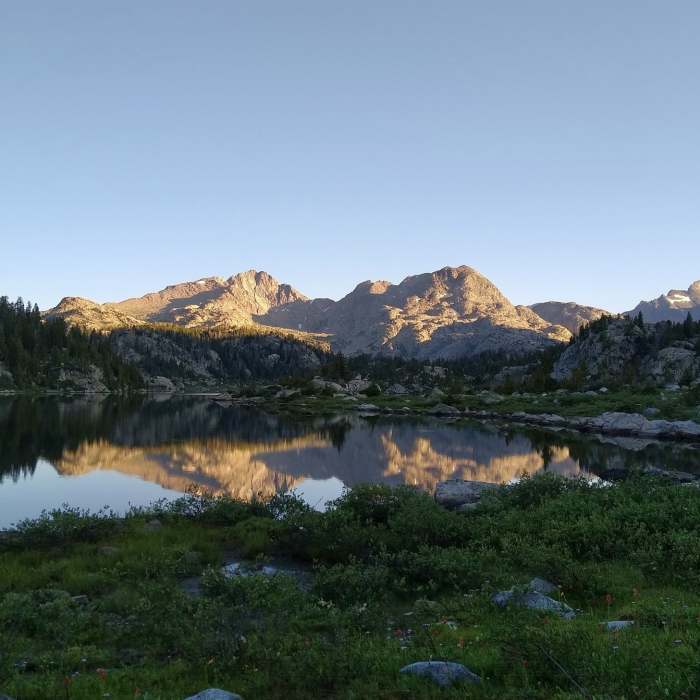
After passing the first lake at the 1.1 mile mark, continuing in the woods and meadows, Cook Lake Loop climbs briefly and then drops over a ridge to reveal the second Cook Lake. Descending down to the second lake, the trail becomes faint at a gravelly/sandy spot, AND a spur trail to Wall Lake is more well defined. To stay on Cook Lake Loop, go left and head down the grass directly to the lake to find well defined trail and an awesome beach.
Continue on Cook Lake Loop by turning left at the lake/beach. For the next 0.65 miles, to the 2.35 mile mark, the trail is flat as it runs along the southwest side of the second lake. Then veering left, the trail leaves the second lake behind. Continuing in the meadows, a creek connecting the two lakes is crossed, as the trail heads back to the first lake. The trail reaches the north end of the first lake at the 2.5 mile mark, and follows its shoreline for about a quarter mile.
At the 2.8 mile mark, Cook Lake Loop leaves the first lake behind and begins to descend gradually through the thin woods and rocky meadows. The CDT/Fremont Trail is reached at the 3.3 mile mark and Cook Lake Loop crosses it. For the next 0.3 miles, the trail is basically flat as it runs through meadows to come to Pole Creek that needs to be crossed to finish the loop. After crossing Pole Creek here, the loop ends at the trail sign where it started.
No Condition Reports
Contributors

