Ready to explore this trail?
View Trail Map in AppThe preserve is open from 8 am to sunset throughout the year. Hours are posted at the parking lot and can be found online. The !Bowl Loop Trail is one of the seasonal trails and may be closed due to rain. Call 650-329-2423 or check online.
Path Type
Point to Point
You can reach the !Bowl Loop Trail via the Juan Bautista de Anza Trail and the Meadowlark Trail. It can also be accessed by entering gate C, although there is no parking there.
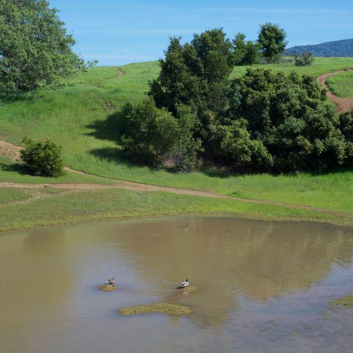
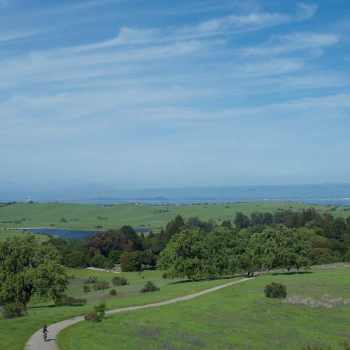
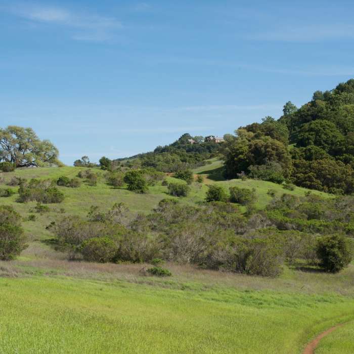
The !Bowl Loop Trail climbs immediately uphill from the Meadowlark Trail. If you turn around and look behind you, views of the Stanford Dish, East Bay, South Bay, Felt Lake, and the rest of the preserve spread out before you. Being at the far end of the park, these views allow you to see the area under the protection of the preserve. The trail is narrow and dirt at this point as it climbs the hillside. Once the trail levels out at the top, there are several options for you as there are lots of side trails used by mountain bikers. The trail goes off to the right and moves around a depression (or bowl if you'll) that fills with water after rainstorms. If there has been enough water, ducks can be seen swimming in the water, especially in the spring time. If the area is dry, it's a popular area for mountain bikers to ride through as it offers steep sides to ride down and climb.
After the trail passes this depression, the trail narrows again and descends down the backside of the hill that you climbed. Wildflowers can be seen on either side of the trail and you get a view into the Foothills Park. The trail bottoms out and then climbs up the hill again passing the Bowl Loop Trail Alternative connector that leads back to where you started. Continuing straight ahead, the trail passes Bowl Loop, which breaks off to the right before finally ending at the junction with the Meadowlark Trail.
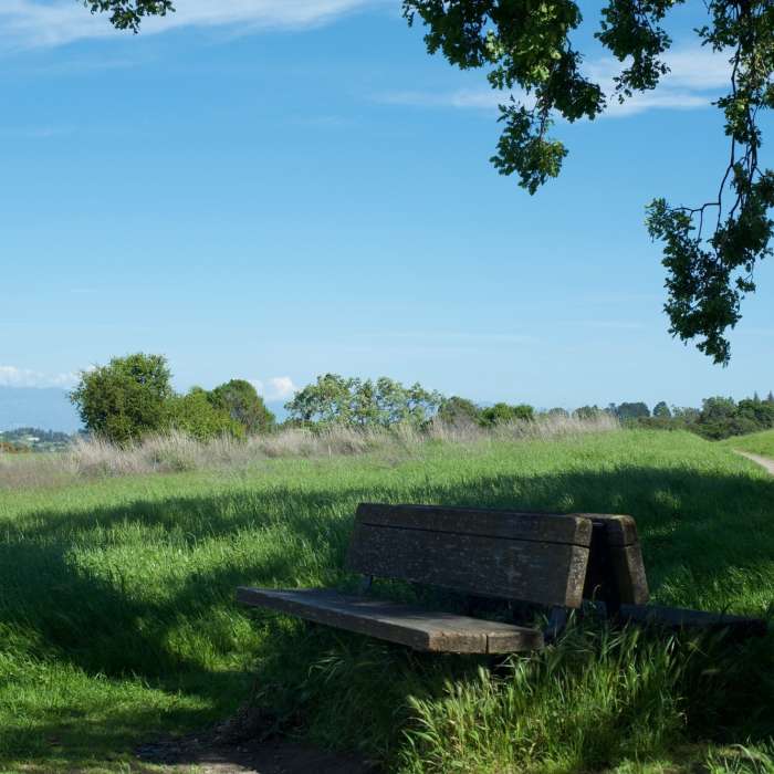
Depending on the amount of time you have, there are several options for returning to your car depending on where you parked. You can go left and take the Meadowlark Trail back toward the trail where you started, or turn to the right and explore other areas of the park, using other trails to get back to your car. It's all easy hiking from this point as most of it is level or downhill.
No Condition Reports
Contributors

