Ready to explore this trail?
View Trail Map in AppPath Type
Point to Point
From the Athabasca River Trailhead sign next to the river at the parking area, head north on the wide dirt trail, not on the narrow trail right next to the river. This trail is the #7 trail, so follow yellow diamonds with #7 on them.
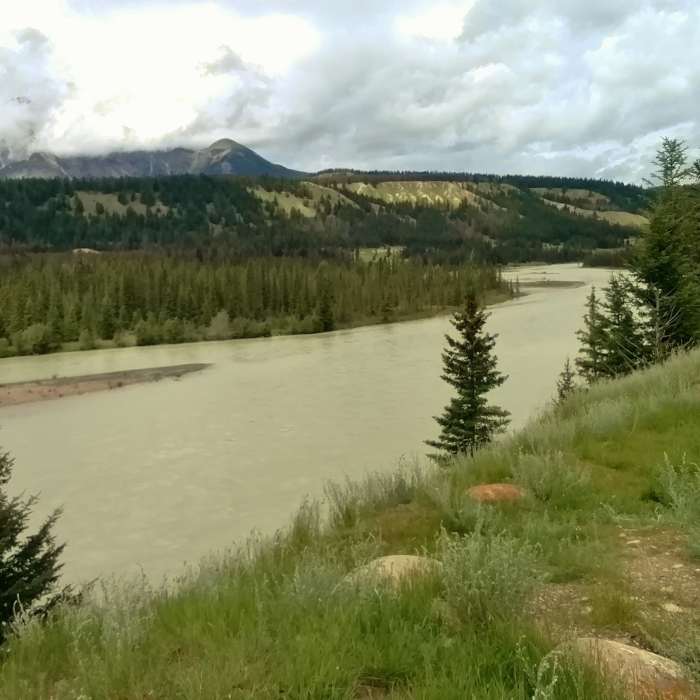
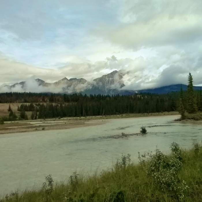
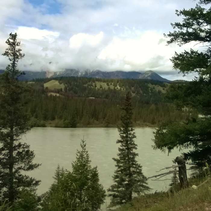
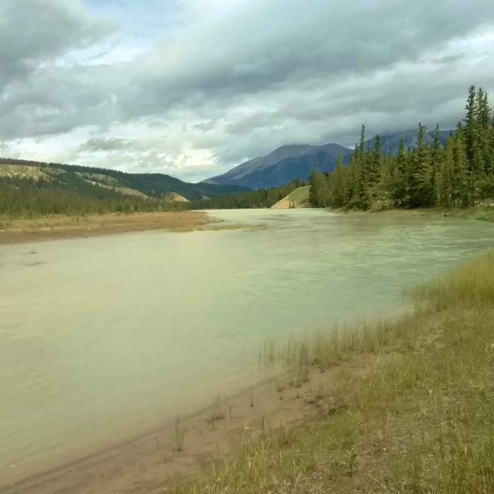
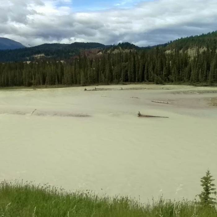
The Athabasca River Trail is flat as it goes through thin woods and grass right next to a small side channel for the first .6 miles. The small side channel then joins a much larger side channel with views of Pyramid Mountain across the river, to the northwest. At about the 1.3-mile mark the trail passes Lac Beauvert and crosses its outlet stream on a sturdy bridge. It's interesting to see the clear waters from the spring fed Lac Beauvert, join the silty Athabasca River. After passing a couple more small lakes, at the 1.7-mile mark, the trail climbs a grassy knoll that overlooks the river. Enjoy great views of the river and surrounding mountains from this lookout.
Up higher now, the Athabasca River Trail is "pinched" between a road and the river on a steep wooded hillside for the next 0.6 miles. The trail then enters woods and moves away from the river for about 0.4 miles. Heading back toward the river, the trail runs along its banks to Maligne Road that it crosses at the 3.0-mile mark.
After crossing the road, watch for the #7 trail sign to continue on the Athabasca River Trail as it heads into the woods and toward the river. The trail continues in woods and along the river for the next 1.5 miles where it then veers right (east) towards a road. After a very short road hike, the trail returns to the Athabasca River's banks for another 0.6 miles.
For the last 0.1 mile, the Athabasca River Trail heads east (to the right) away from the Athabasca River, along a side road, towards the Maligne River very near where it empties into the Athabasca River. The trail ends at a parking area where the Maligne Canyon Trail start is found.
No Condition Reports
Contributors

