Ready to explore this trail?
View Trail Map in AppPath Type
Point to Point
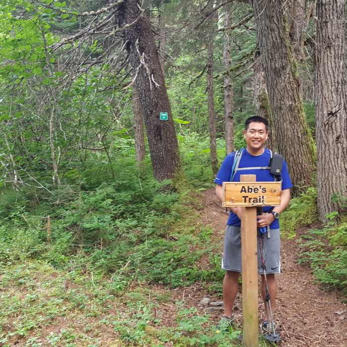
This trail is best taken north to south, starting just before the California Creek bridge on Crow Creek Road. Head west and parallel California Creek as you climb the hill, staying left at the top and heading SW. There are some short and steep climbs along the trail, but overall you descend a couple hundred feet to the paved Gird-Bird Trail.
The trail can get overgrown with pushki so long sleeves and tall socks might make it a little more comfortable.
Once you get to the paved trail, either retrace your route or take the easy way out on the paved trail back into Girdwood.
No Condition Reports
Penguin Ridge Traverse
Penguin Ridge Traverse
Winner Creek to Hand Tram
Winner Creek to Hand Tram
Winner Creek Trail
Winner Creek Trail
Virgin Creek Falls
Virgin Creek Falls
Crow Pass Trail to Crow Pass Cabin
Crow Pass Trail to Crow Pass Cabin
Crow Pass / Eagle River Trail - Iditarod National Historic Trail
Crow Pass / Eagle River Trail - Iditarod National Historic Trail
Contributors

