
Near Mountain Goat Trail: Sewanee - Monteagle
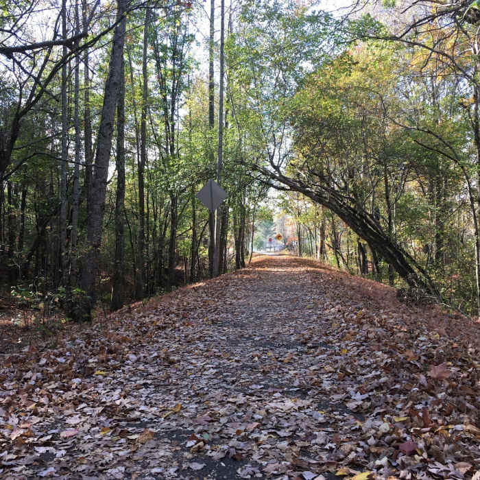
There's beautiful scenery along the Mountain Goat Trail in all seasons.
Near Mountain Goat Trail: Sewanee - Monteagle
The Mountain Goat Trail is great for families!

Looking for more photos?

View All Photos
View Map
Driving Directions
Hike Trail

Mountain Goat Trail: Sewanee - Monteagle

5.0 (2 Ratings)
A paved rail-trail that is part of Mountain Goat Trail project.
4.7
mi
Distance
164
ft
Gain
easy
Difficulty
Fall ColorsFamily FriendlyWildflowers

Route Details

Flatter
Steeper
4.73mi
Distance
164ft
Elevation Gain
90ft
Elevation Loss
5%
Max Grade
1,979ft
High Point
1,857ft
Low Point
Path Type
Point to Point
Description
This 5-mile section of the Mountain Goat Trail is smooth asphalt and follows the old railbed, with a couple of detours. There are stretches of beautiful woods and two new wooden bridges. The western end is in Sewanee, home of the University of the South, and the east end is in Monteagle. There's not much elevation change along the way, making this an easier excursion that all can enjoy. For more information, visit mountaingoattrail.org

Route Conditions

Report Conditions
No Condition Reports
Report Conditions

Nearby Hike Routes

Fiery Gizzard

Hike Route

Fiery Gizzard

Birding
strenuous
12.21 mi
+2,152 ft
Walls of Jericho

Hike Route

Walls of Jericho

Cave
strenuous
6.5 mi
+1,355 ft
Short Springs Loop

Hike Route

Short Springs Loop

Fall Colors
moderate
4.67 mi
+771 ft
Old Stone Fort State Archaeological Park Nature Trail

Hike Route

Old Stone Fort State Archaeological Park Nature Trail

Birding
moderate
2.78 mi
+391 ft
Enclosure Trail

Hike Route

Enclosure Trail

Views
easy
1.33 mi
+194 ft
Big Creek Gulf Loop

Hike Route

Big Creek Gulf Loop

River/Creek
strenuous
7.44 mi
+1,189 ft
Contributors
Patrick Dean
