Ready to explore this trail?
View Trail Map in AppPath Type
Point to Point
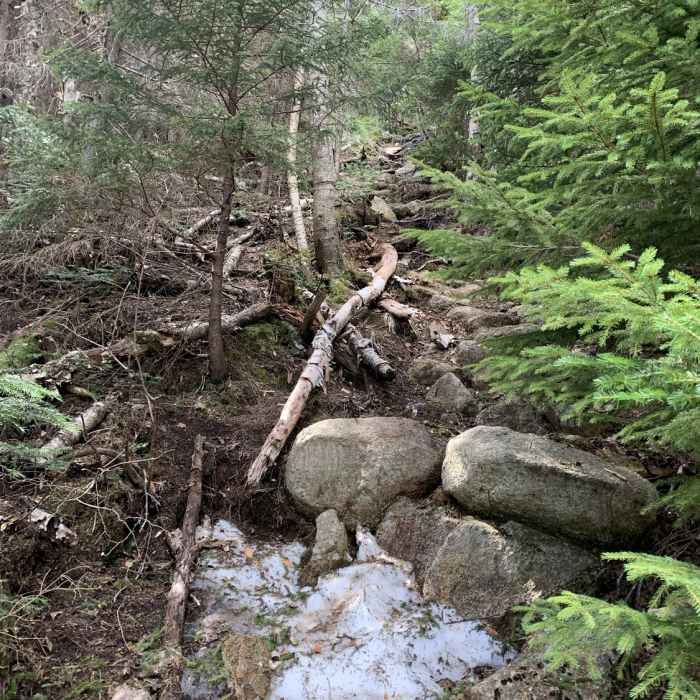
This trail starts from the intersection of Walden Trail, Square Ledge Trail and Old Mast Road. It runs eastward, crossing over Oliverian Brook Trail and Kelley Trail. It travels along a benching of Rotten Rock, then climbs over a series of steep switchbacks. It levels out, as you near the summit of Mount Paugus.
No Condition Reports
Mount Whiteface via Blueberry Ledge Trail
Mount Whiteface via Blueberry Ledge Trail
Hedgehog Mountain
Hedgehog Mountain
Mt. Chocorua - Champney Falls Route
Mt. Chocorua - Champney Falls Route
North and Middle Tripyramid
North and Middle Tripyramid
Mt. Chocorua - Piper Trail
Mt. Chocorua - Piper Trail
Three Sisters Loop to Mount Chocorua
Three Sisters Loop to Mount Chocorua
Contributors

