Ready to explore this trail?
View Trail Map in AppSee Bernheim's website (https://bernheim.org/) for more details.
Path Type
Loop
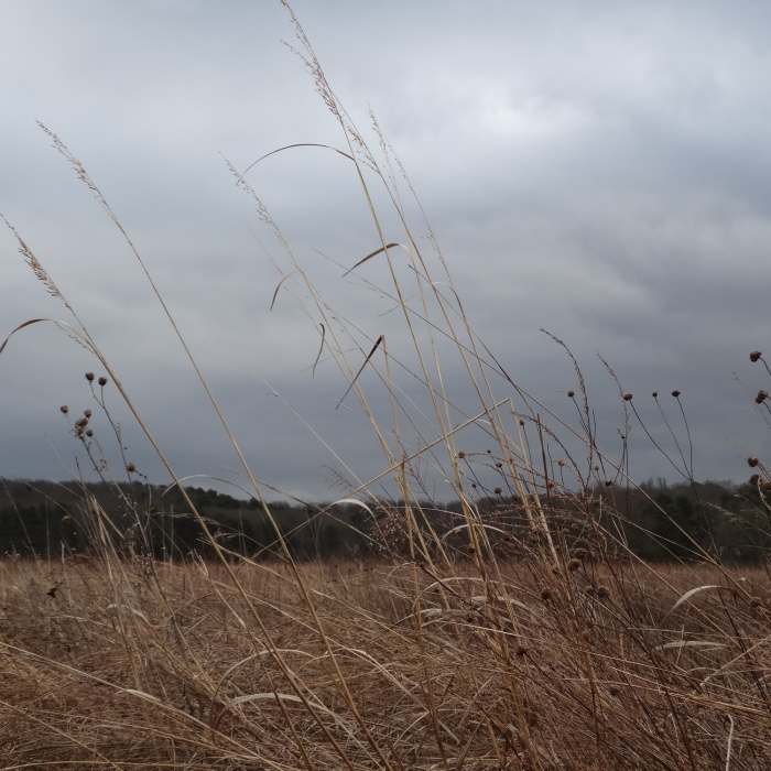
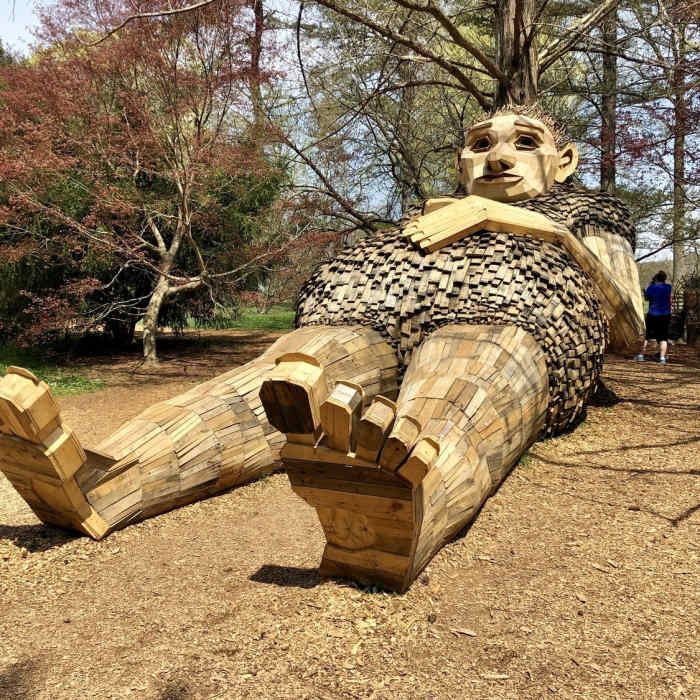
Enter the trail by the trailhead, circling around behind the sculpture. Continue to the right, and pass the restrooms. Benches abound the paved part of the trail on this side of the creek. Look for the great views of a more formal garden area as you go.
At the bottom of a hill, come to a junction with Lake Nevon Trail Loop. Hang left. Before you come to the bridge, a dirt path goes off to the left. Watch for the red triangle blazes and the "Sun and Shade Loop" sign. This dirt path is very different from its paved counterpart.
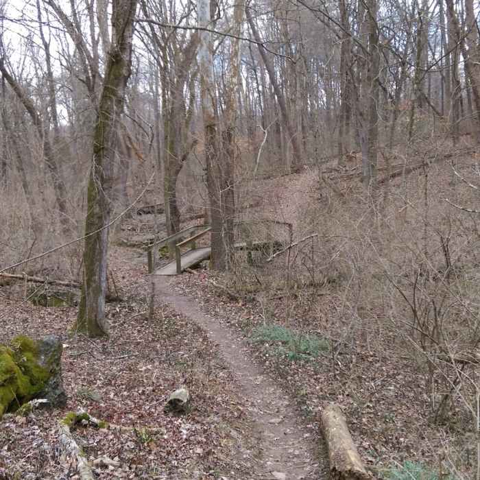
Ascend into the forest and cross a couple of small wooden bridges. The trail is well-worn and well-blazed. Keep an eye above for any widow-makers. Continue around and close the loop as you return to the paved path.
All Clear
All Clear
All Clear
All Clear
Looking for more condition reports?
Yost Ridge Lollipop Loop
Yost Ridge Lollipop Loop
Freeman Lake Loop
Freeman Lake Loop
Otter Creek Full Loop
Otter Creek Full Loop
Cherokee Park Loop
Cherokee Park Loop
Harrods Creek Park
Harrods Creek Park
Route 666
Route 666
Contributors

