
Near Red Tail Hawk Trail
Sappony Trail Run.
Near Red Tail Hawk Trail
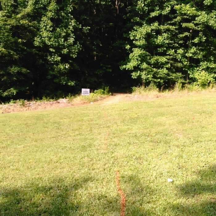
Opening in the trail
Near Red Tail Hawk Trail
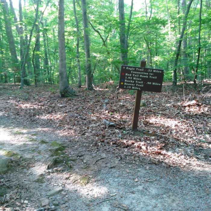
Decision time
Near Red Tail Hawk Trail
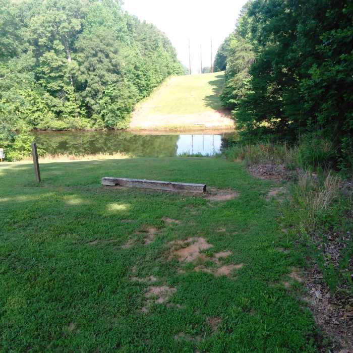
View of Mayo Lake

Looking for more photos?

View All Photos
Driving Directions
Hike Trail

Red Tail Hawk Trail

4.0 (1 Rating)
An easy, short loop with lots of lake views.
1.8
mi
Distance
107
ft
Gain
moderate
Difficulty
BirdingFall ColorsLakeLess CrowdedSpringSwimmingWildflowers

Route Details

Flatter
Steeper
1.83mi
Distance
107ft
Elevation Gain
107ft
Elevation Loss
10%
Max Grade
513ft
High Point
438ft
Low Point
Path Type
Loop
Description
This is the longest loop at Mayo Lake Park. This is a pretty technical trail in the fact that there are roots and rocks everywhere along it, some spots more than others. Overall, it's fairly flat or a gentle ascent/descent, with a few small hills. There's not a lot of traffic on the trails here, but the park keeps it well maintained. You'll see more people in the summer at the park for swimming, fishing, camping, and boating. The trails here are marked by colored rings painted onto trees. Look for the red rings for Red Tail Hawk Trail. Other trails run alongside this, so you'll see blue or yellow in conjunction with the red markings at times.

Route Conditions

Report Conditions
No Condition Reports
Report Conditions

Nearby Hike Routes

River Bank and Twin Loops Trails

Hike Route

River Bank and Twin Loops Trails

Family Friendly
moderate
9.79 mi
+802 ft
Ledge Creek Forest Conservation Area

Hike Route

Ledge Creek Forest Conservation Area

Birding
moderate
2.11 mi
+135 ft
Beaver Pond and Panhandle Loop

Hike Route

Beaver Pond and Panhandle Loop

Fall Colors
moderate
10.3 mi
+471 ft
Little River 5+ Loop

Hike Route

Little River 5+ Loop

River/Creek
moderate
5.27 mi
+447 ft
Horton Grove Nature Preserve Loop

Hike Route

Horton Grove Nature Preserve Loop

Birding
moderate
5.81 mi
+360 ft
Creedmoor Cross City Trail

Hike Route

Creedmoor Cross City Trail

River/Creek
moderate
4.48 mi
+222 ft
Contributors
Anna Walker
