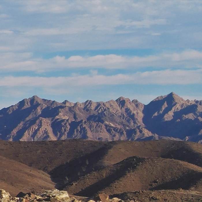
Near Sidewalk
Beautiful Sonoran desert landscape.

Looking for more photos?

View All Photos
View Map
Driving Directions
Hike Trail

Sidewalk

2.0 (1 Rating)
Sidewalk, where the trail improves with every step east.
0.9
mi
Distance
228
ft
Gain
moderate
Difficulty
Views

Route Details

Flatter
Steeper
0.87mi
Distance
228ft
Elevation Gain
29ft
Elevation Loss
25%
Max Grade
632ft
High Point
434ft
Low Point
Path Type
Point to Point
Description
As you hike eastward, the trail climbs out of the valley and becomes more stable and narrower, and the overall trail improves dramatically. The nature of the hiking changes from "getting there" to "let's fly!" The climbing doesn't last long, and eases up quickly as you hit about 500 feet and head toward Champagne and the eastern side of the trail complex. The sweeping vistas are fabulous here, a great place for a break if you find yourself winded.

Route Conditions

Report Conditions
No Condition Reports
Report Conditions

Nearby Hike Routes

Prisoner Pass

Hike Route

Prisoner Pass

easy
0.54 mi
+55 ft
Walkway

Hike Route

Walkway

easy
0.67 mi
+14 ft
Arroyo Salado Loop

Hike Route

Arroyo Salado Loop

Views
strenuous
30.17 mi
+1,094 ft
San Andreas Trail

Hike Route

San Andreas Trail

easy
0.85 mi
+14 ft
Cowpie Rock Loop

Hike Route

Cowpie Rock Loop

Views
easy
5.45 mi
+341 ft
Chiriaco Summit

Hike Route

Chiriaco Summit

Less Crowded
easy
10.79 mi
+171 ft
Contributors
Karl Ingersoll
