Near Gladys Divide Trail
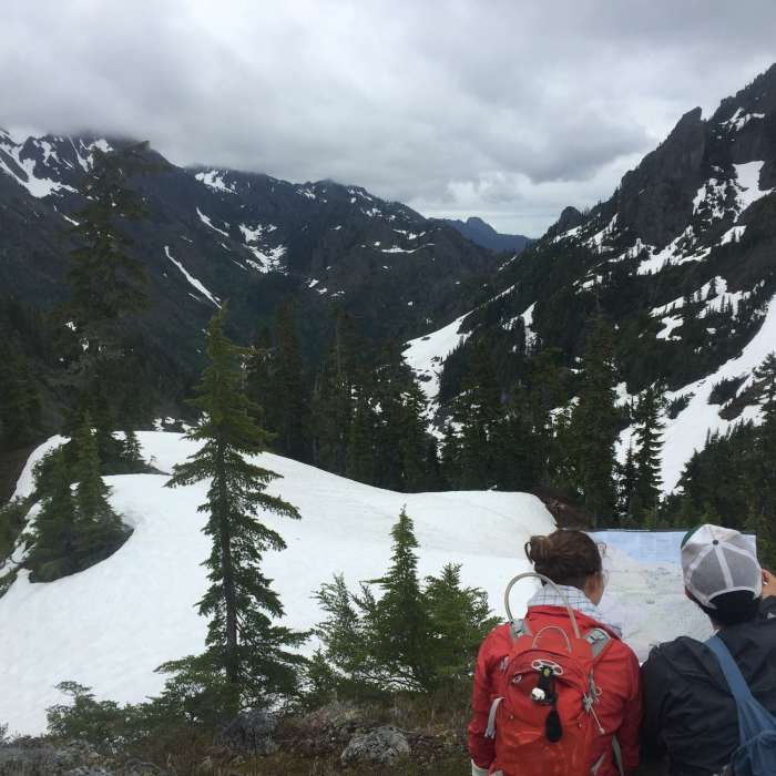
The view from Glady's Divide in Olympic National Park
Near Gladys Divide Trail
Looking east to the Sawtooth Ridge.
Near Gladys Divide Trail
Standing and enjoying the view at Gladys Divide
Near Gladys Divide Trail
"Did we make it!?"
Near Gladys Divide Trail
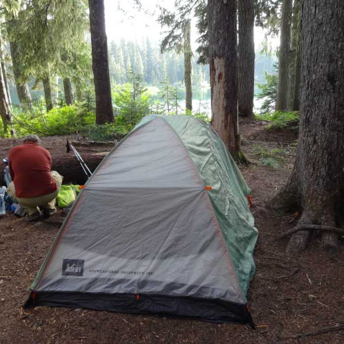
Setting up camp at lower Flapjacks Lake while hiking the Gladys Divide Trail.

Looking for more photos?

View All Photos
Driving Directions
Hike Trail

Gladys Divide Trail

5.0 (2 Ratings)
A stunning route to one of the more scenic mountain regions along the Hood Canal.
1.8
mi
Distance
1,587
ft
Gain
strenuous
Difficulty
LakeViewsWildflowersWildlife

Route Details

Flatter
Steeper
1.79mi
Distance
1,587ft
Elevation Gain
14ft
Elevation Loss
35%
Max Grade
4,966ft
High Point
3,385ft
Low Point
Path Type
Point to Point
Description
The trail from Flapjack Lake Trail to the !Gladys Divide is only a few miles long, but in that few miles, visitors get a chance to see one of the more stunning and secluded regions of the Olympic Mountains. In the shadow of the Sawtooth Ridge, the trail works its way up from the lakes and into a valley filled with small ponds, wildflowers, giant boulders and impressive views of the Olympic Interior. Once the trail leaves the forested area, the views get even better. Weaving through scree and a boulder field, the short trek from Flapjack Lakes is one of the more impressive views you can find in the Staircase Region of Olympic National Park. Since the trail is just two miles, consider taking an extra jaunt up to the summit of Mount Gladys, which is located to the left of the !Gladys Divide Sign and the end of the trail. Views from Mount Gladys include Mount Olympus and the entire interior of the Olympic Mountains. This path is hard to locate at times, but always worth the extra effort.

Route Conditions

Report Conditions
No Condition Reports
Report Conditions

Nearby Hike Routes

Gladys Divide

Hike Route

Gladys Divide

Fall Colors
strenuous
16.71 mi
+5,008 ft
Staircase Rapids Loop

Classic Hike Route

Staircase Rapids Loop

Birding
moderate
2.12 mi
+225 ft
Lake of the Angels (Putvin Trail)

Classic Hike Route

Lake of the Angels (Putvin Trail)

Fall Colors
strenuous
6.67 mi
+3,607 ft
Mount Ellinor via Upper Trailhead

Hike Route

Mount Ellinor via Upper Trailhead

Views
moderate
3.05 mi
+2,418 ft
Mt. Rose Loop Trail #814

Hike Route

Mt. Rose Loop Trail #814

Views
strenuous
5.74 mi
+3,559 ft
Big Creek Campground to Mt. Ellinor Ascent

Hike Route

Big Creek Campground to Mt. Ellinor Ascent

Lake
strenuous
12.23 mi
+5,076 ft
Contributors
Doug Scott
