Ready to explore this trail?
View Trail Map in AppThis trail is enters the Eagle Cap Wilderness and the usual federal wilderness area regulations and restrictions apply here. Practice Leave No Trace (LNT) ethics, camp 100 feet from fragile areas, bury human waste at least 200 feet from water, trails, and campsites.
This trail is usually closed by snow between November and May.
Path Type
Point to Point
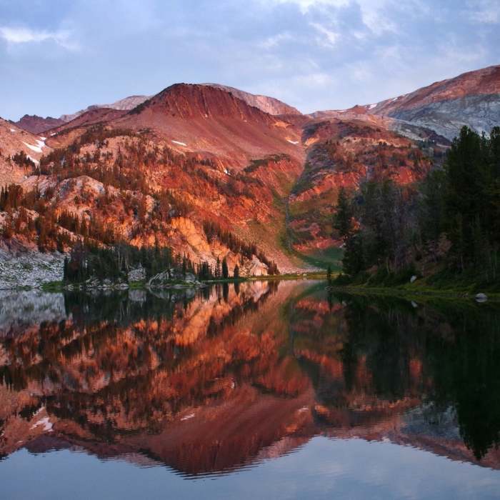
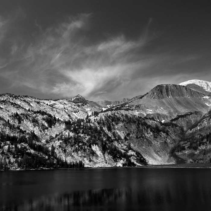
Aside from the Lakes Basin, Ice Lake is perhaps the most popular destination in the Eagle Cap Wilderness, featuring an amazing lake plus nearby climbs of two iconic summits. On summer weekends and holidays expect this trail and the lake to be very busy and for campsites at the lake to be at a premium. Use this trail on a weekday if at all possible.
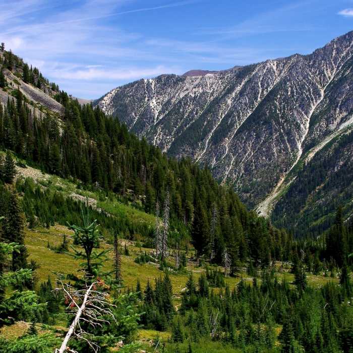
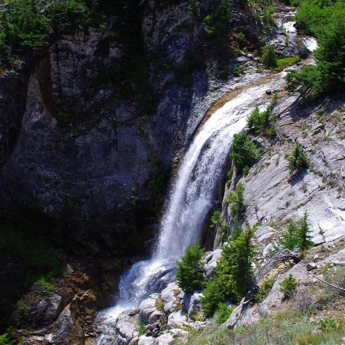
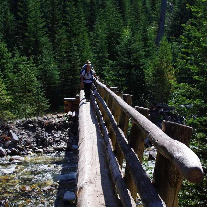
This trail leaves the West Fork Wallowa Trail #1820 just three miles in from the Wallowa Lake Trailhead. Here, it crosses Hurricane Creek on a log bridge, then climbs the canyon wall using a considerable number of switchbacks. The climb isn't steep, just constant. The views on the way up are great but the payoff is Ice Lake itself and the views of the Matterhorn from its shores.
The official trail ends at the eastern edge of the lake but a prominent use trail continues from there along the north side of the lake and goes on up to the summit of the Matterhorn. The best campsites are on the peninsula that juts into the lake south of the trail. There are also some campsites on the west and south sides of the lake.
No Condition Reports
Contributors

