Ready to explore this trail?
View Trail Map in AppBring bear spray.
This trail crosses the USA/Canada border - be sure to have proper ID and any other required permits/paperwork.
Path Type
Point to Point
The trail starts near the Goat Haunt Ranger Station where it wanders through the trees paralleling the Waterton River. A large swinging bridge across the river takes you north. As you travel through the trees, you pass the Waterton River Campground Trail, then pass the Boulder Pass Trail. You continue on through some small meadows and trees towards Waterton Lake.
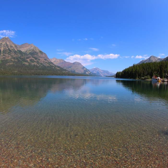
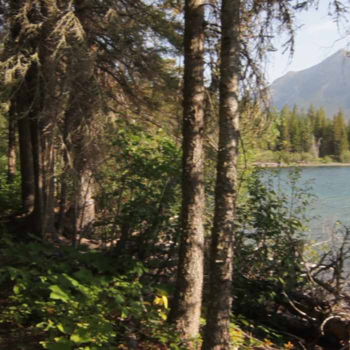
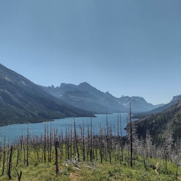
As you head north, you get closer to the lake, eventually getting to its treed shoreline. You roughly follow the shoreline with intermittent views. Because the vegetation grows right to the edge of the lake, you never really get open, panoramic views of the lake. It does, however allow you to see the lake and some waterfowl on it.
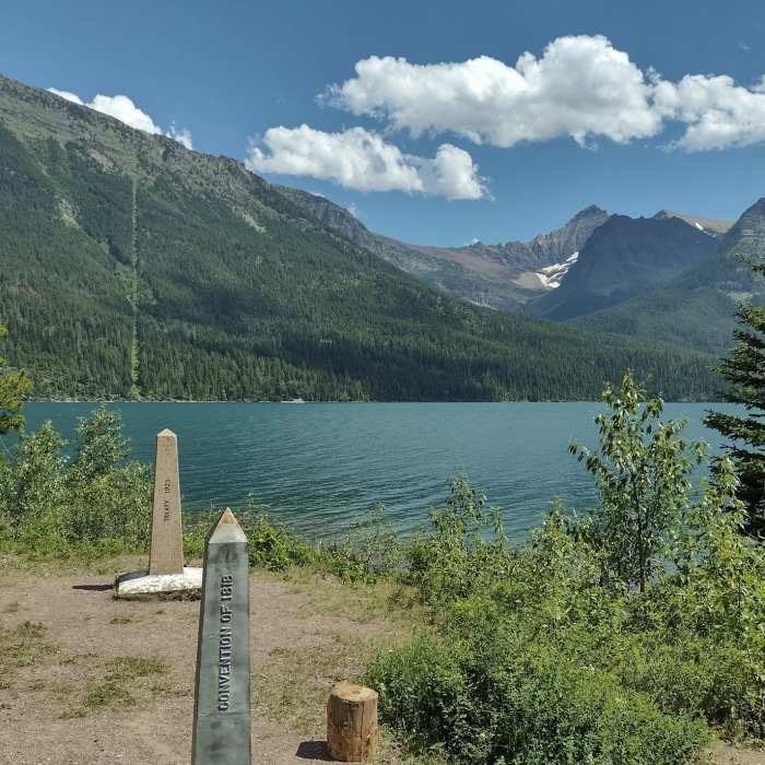
The forest and occasional meadows with views to the surrounding, stunning peaks are very nice and level all the way up to Boundary Creek. Just before crossing Boundary Creek, the North Boundary Trail takes off to the west. From here, the trail goes over Boundary Creek in a particularly cool cascading section of the creek with beautiful rock walls. Another 1/3 mile takes you to the wide swath cut out of the trees and some monuments letting you know that you're at the US/Canada Border. Just across the border is the Boundary Bay Campground in Waterton Lakes National Park.
From here, the trail continues roughly following the shoreline gaining and losing some elevation over treed ridges that extend to the water. This continues past Bertha Bay Campground and the spur trail up to Bertha Lake to the town of Waterton.
This content was created by Jake Bramante of Hike 734. Visit https://www.hike734.com for more expert Glacier content and maps that help you decide which trail to hike.
Where this trail crosses the U.S./Canadian border it becomes part of the GDT (Great Divide Trail): http://www.greatdividetrail.com. This section is managed by Parks Canada, Waterton National Park.
No Condition Reports
Continental Divide Trail: Montana-Idaho Section 30C
Continental Divide Trail: Montana-Idaho Section 30C
Contributors

