Near Boulder Pass Trail
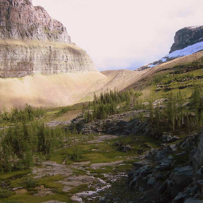
Boulder Pass area
Near Boulder Pass Trail
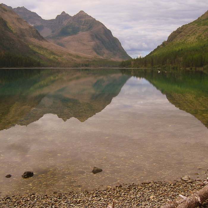
Kintla Lake
Near Boulder Pass Trail
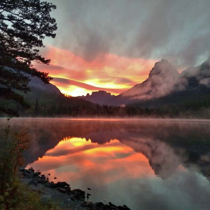
Sunrise over the east end of Kintla Lake, seen from the Kintla Lake trail camp.
Near Boulder Pass Trail
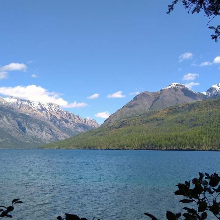
Looking across Kintla Lake to the east-northeast from Boulder Pass Trail.
Near Boulder Pass Trail
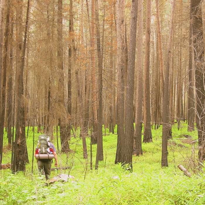
Hiking an old burn along Kintla Lake

Looking for more photos?

View All Photos
View Map
Driving Directions
Hike Trail

Boulder Pass Trail

4.7 (3 Ratings)
A taste of East, West, and Central Glacier National Park.
30.1
mi
Distance
4,823
ft
Gain
strenuous
Difficulty
LakeRiver/CreekSwimmingViewsWaterfallWildflowersWildlife

Route Details

Flatter
Steeper
30.13mi
Distance
4,823ft
Elevation Gain
4,689ft
Elevation Loss
60%
Max Grade
7,497ft
High Point
4,011ft
Low Point
Path Type
Point to Point
Description
From the Kintla trailhead, make the mostly flat hike along Lower Kintla Lake to its head. From there begin the mellow climb to Upper Kintla Lake and find the nice campsite located at its head. Continuing further as part of the spectacular Boulder Pass Loop hikers are treated to remote, rugged, rocky country that is indicative of Glacier National Park's finest scenery. Boulder Pass and Hole in the Wall are of stunning beauty. Exiting Hole in the Wall and continuing along the trail, hikers arrive at the somewhat melodramatic Brown's Pass, an often windy and somewhat unassuming pass. It is, however, the Continental Divide and from here all water behind you heads to the Pacific and all water ahead toward the Gulf of Mexico. The hiker who opts to continue further in this direction should prepare for mother nature at her finest. Descending off Brown's Pass, hikers will pass the pristine Frances and Janet lakes and the epic waterfalls that feed them. You may wish you had brought along your watercolors they are of such storybook beauty. A short distance further brings you to Waterton Lakes where there is a ranger station including an international border crossing into Canada or the option to stay in the US and hike further into the park.

Route Conditions

Report Conditions
No Condition Reports
Report Conditions

Nearby Hike Routes

Boulder Pass Loop

Hike Route

Boulder Pass Loop

Birding
strenuous
34.86 mi
+5,293 ft
Pacific Northwest National Scenic Trail Section 2

Hike Route

Pacific Northwest National Scenic Trail Section 2

Lake
extreme
76.64 mi
+13,471 ft
Carthew - Alderson Traverse

Hike Route

Carthew - Alderson Traverse

Lake
strenuous
11.28 mi
+2,679 ft
Tamarack Hike

Hike Route

Tamarack Hike

Commonly Backpacked
strenuous
21.23 mi
+5,534 ft
Goat Lake

Hike Route

Goat Lake

Lake
strenuous
10.45 mi
+1,058 ft
Blakiston Falls

Hike Route

Blakiston Falls

Family Friendly
easy
1.43 mi
+181 ft
Contributors
Sam H
