Ready to explore this trail?
View Trail Map in AppPath Type
Point to Point
Start hiking from the boat ramp and climb the wooden stairs to near a small building, where you'll continue to climb on a footpath. Shortly, you'll see green and black markers directing you to the right. If you want to go the shortest way around the lake, turn right and follow the black-marked Perimeter Trail. If you want to hike close to the lake, continue straight at this point.
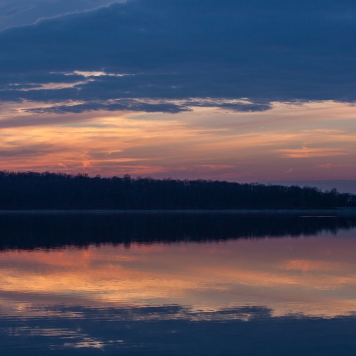
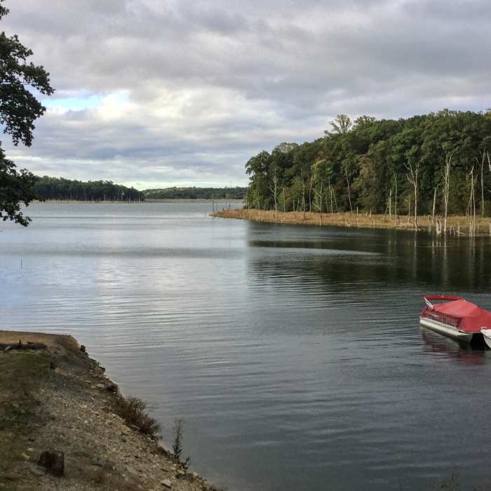
At 1.5 miles, you'll cross a wooden bridge over Merrill Creek before meandering along the shore of the lake. At 2 miles, you'll have an especially nice lake view before going back to the woods.
At 4 miles in, you have two choices: go straight ahead by the shaft (easy), or take the difficult trail going down to the creek and back up a steep ravine. Through the ravine, be especially careful as the trail can be loose and easy to slip on.
Once you've successfully made it through the ravine, the trail takes on an easier, gravel character as it ushers you back to your car.
No Condition Reports
Hoffman Park Loop
Hoffman Park Loop
Point Mountain Loop
Point Mountain Loop
Voorhees State Park Loop
Voorhees State Park Loop
Jacobsburg Trail
Jacobsburg Trail
Point Mountain Reservation - North to South
Point Mountain Reservation - North to South
Homestead Trail
Homestead Trail
Contributors

