Near Hogback Trail
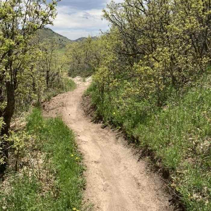
Scrub oak and flowers
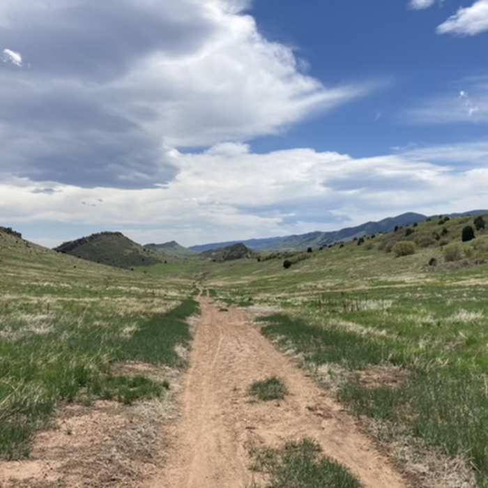
Near Hogback Trail
Looking south

Looking for more photos?

View All Photos
View Map
Driving Directions
Hike Trail

Hogback Trail

2.0 (2 Ratings)
This gentle trail offers great wildflower viewing.
2.2
mi
Distance
405
ft
Gain
easy
Difficulty
Fall ColorsLess CrowdedWildflowersWildlife
Access Issues
This trail is for use by Ken Caryl residents only.

Route Details

Flatter
Steeper
2.22mi
Distance
405ft
Elevation Gain
225ft
Elevation Loss
10%
Max Grade
6,215ft
High Point
5,918ft
Low Point
Path Type
Point to Point
Description
Starting at the parking area at the entrance to the Ken Caryl Valley, the Hogback Trail is the start to a network of over 35 miles of trails throughout the Ken Caryl Valley. This gentle trail climbs gradually between the Dakota and Lyons Hogback mountains, offering a wonderful feeling of isolation.

Route Conditions

Report Conditions
Anonymous Adventurer
All Clear
Looking for more condition reports?
View History

Nearby Hike Routes

Plymouth Mountain

Hike Route

Plymouth Mountain

River/Creek
moderate
8.47 mi
+1,773 ft
Deer Creek

Hike Route

Deer Creek

Birding
moderate
7.17 mi
+1,399 ft
Two Brands and Black Bear Circuit

Hike Route

Two Brands and Black Bear Circuit

Fall Colors
moderate
6.1 mi
+395 ft
Mount Carbon Loop

Hike Route

Mount Carbon Loop

Lake
moderate
6.67 mi
+499 ft
Mount Falcon East Loop

Hike Route

Mount Falcon East Loop

Fall Colors
moderate
9.04 mi
+2,126 ft
Mount Morrison

Classic Hike Route

Mount Morrison

Dogs Allowed
strenuous
3.35 mi
+1,985 ft
Contributors
Derek Griffiths
