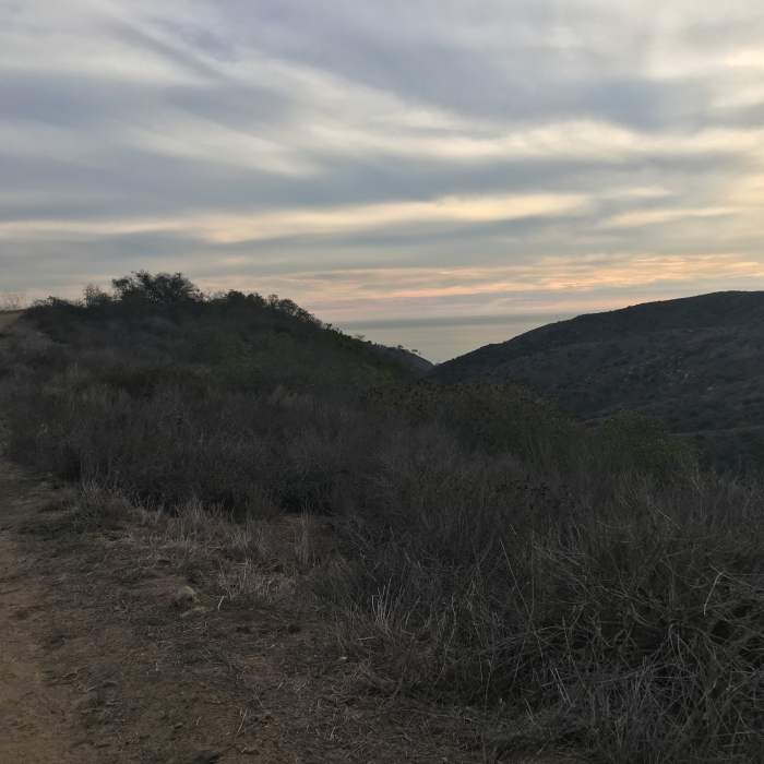
Near Big Bend Trail
View of the Pacific just before the drop-off

Looking for more photos?

View All Photos
Driving Directions
Hike Trail

Big Bend Trail

3.5 (2 Ratings)
This trail is a wide trail with very steep sections that connects Bommer Ridge Road with the canyon below.
1.4
mi
Distance
775
ft
Gain
strenuous
Difficulty
BirdingViewsWildlife
Access Issues
Big Bend is accessed from the Bommer Ridge Road and the Stagecoach South Trail - Southern Half.

Route Details

Flatter
Steeper
1.37mi
Distance
775ft
Elevation Gain
60ft
Elevation Loss
40%
Max Grade
921ft
High Point
205ft
Low Point
Path Type
Point to Point
Description
The trail starts out flat at the top, and meanders along a ridge. Towards the end of the visible trail, hikers will encounter a steep and rutted incline, which is followed by a gradual descent, for a while. During the second half of the trail, the descent suddenly turns into a steep drop-off where hikers must watch their step, followed by another very steep drop-off just before the trail arrives at the bottom.

Route Conditions

Report Conditions
Anonymous Adventurer
All Clear
Looking for more condition reports?
View History

Nearby Hike Routes

Top of the World Loop

Hike Route

Top of the World Loop

Birding
moderate
6.89 mi
+1,028 ft
Laurel Canyon Loop

Hike Route

Laurel Canyon Loop

Birding
moderate
3.44 mi
+629 ft
James Dilley Preserve Combo

Hike Route

James Dilley Preserve Combo

Lake
moderate
4.56 mi
+605 ft
Aliso Wood Canyon 20-Mile Loop

Hike Route

Aliso Wood Canyon 20-Mile Loop

Views
strenuous
20.02 mi
+2,695 ft
Wood Canyon Cave Tour

Hike Route

Wood Canyon Cave Tour

Birding
moderate
9.67 mi
+520 ft
Aliso Creek Park Loop

Hike Route

Aliso Creek Park Loop

Birding
moderate
9.58 mi
+925 ft
Contributors
Tina Bach
