Ready to explore this trail?
View Trail Map in AppSt. Joseph's Hill Preserve is open 1/2 an hour before sunrise to 1/2 an hour after sunset.
Path Type
Point to Point
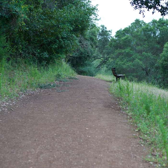
The Flume Trail begins in Novitiate Park at the end of Jones Road. It can be accessed from the parking area there or by heading to the end of the Jones Trail from Lexington County Park. There is a large informational kiosk at the beginning of the trail which has maps and information about the park. The trail gently climbs to the right of the sign as a singletrack dirt trail that hugs the hillside. There are some trees with low branches that require you to duck in order to get past. An alternative trail that meets up with the Flume Trail can be seen on the downhill to the right. There is a bench around .15 miles to take a break and enjoy the view before the trail enters the woods. The trail crosses a ravine via a wooden bridge before the trail starts to climb more steeply up the hill.
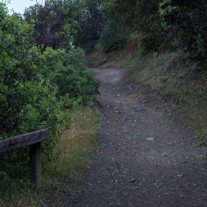
Due to its location near to Highway 17, which leads south to Santa Cruz, traffic can always be heard along the trail. As the trail begins to climb more steeply, it transforms from a dirt trail to a rockier trail that slopes downhill in places due to erosion. At roughly half a mile, the trail cuts back to the left and climbs up the hillside. Wildflowers can be seen blooming in the spring time. Utilizing another switchback, the trail opens up a little bit and views of Highway 17 and the surrounding hills spread out before you. Passing through a small gate that prevents mountain bikers from accessing the trail, the trail cuts to the left and meets up with the Jones Trail.
At this point, you can turn around and retrace your steps back to your car, or take a left on the Jones Trail and descend back to Novitiate Park. If you want to continue exploring St. Joseph's Hill Preserve, go to the right to access the other trails in the preserve.
No Condition Reports
Contributors

